


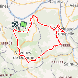

14.3 km | 18.3 km-effort


User


FREE GPS app for hiking
 SityTrail
IGN / Geographical institutes
SityTrail World
The world is yours!
Trail Walking of 17.8 km to be discovered at New Aquitaine, Dordogne, Veyrines-de-Domme. This trail is proposed by Marfee.
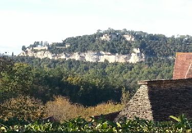
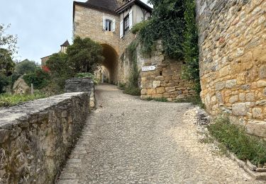
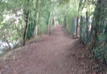
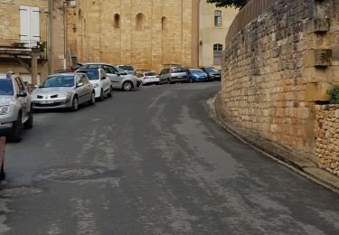
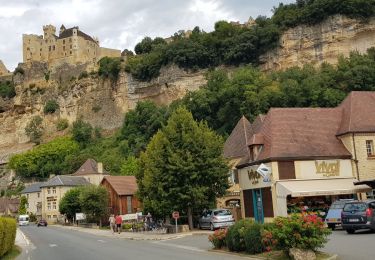
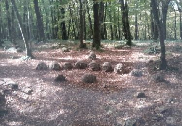
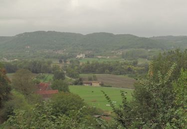
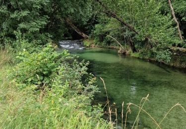
Parcours extrait du livre "Le Périgord à pied". Le point de départ a été décalé pour fixer une halte déjeuner à Castelnaud. Très belle balade dans sa première partie jusqu'à Castelnaud. Le retour est beaucoup moins plaisant ; succession de longues lignes droites bitumées jusqu'à Veyrines de Domme. Pas de difficultés majeures sinon 2 raidillons ; le premier en quittant Veyrines de Domme et le second dans les 700 derniers mètres.
Walking
Walking
Walking
Running
Road bike

Walking
Motor
Walking
Hybrid bike