


25 km | 41 km-effort

User


FREE GPS app for hiking
 SityTrail
IGN / Geographical institutes
SityTrail World
The world is yours!
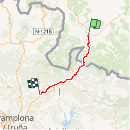
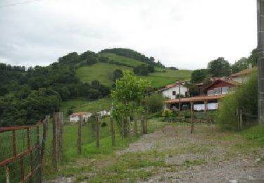
Trail Walking of 47 km to be discovered at New Aquitaine, Pyrénées-Atlantiques, Uhart-Cize. This trail is proposed by Ardeiserois.
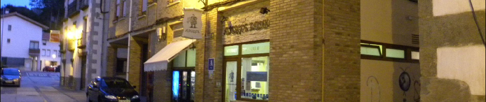
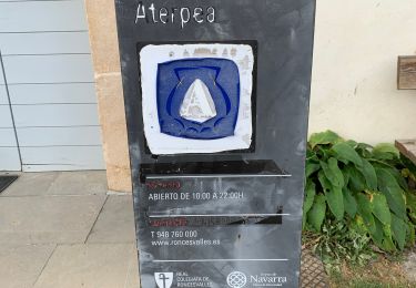
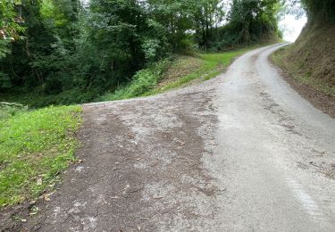
Seizième étape, jeudi 8 octobre 2009 Uhart-Cize / Zubiri
Départ: 8h00
Arrivée :18h00
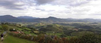
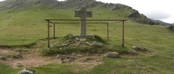
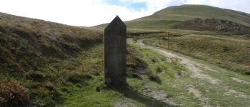
Etape clé puisque il s'agit de la fin du parcours français, un peu d'appréhension pour attaquer la parie espagnole, surtout que le temps n'est pas de la partie risque d'orage pour la traversée des Pyrénées. les orages auront lieu attention à la descente sur Roncevalles par temps de pluie, beaucoup de parties très glissantes


Walking
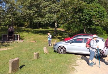
Walking

Nordic walking

Walking
Walking

Walking

Walking

Walking
Walking