


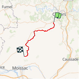


62 km | 81 km-effort


User


FREE GPS app for hiking
 SityTrail
IGN / Geographical institutes
SityTrail World
The world is yours!
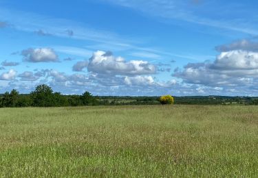
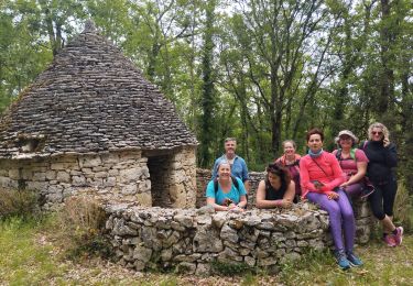
Trail Walking of 51 km to be discovered at Occitania, Lot, Labastide-Marnhac. This trail is proposed by Ardeiserois.
Huitième étape : La Bastide Marnhac (Saint Remy) / Saint Martin de Durfort mercredi 30 septembre 2009.
Départ :8h10
Arrivée :18h50


Mountain bike

Mountain bike

Walking
Mountain bike
Walking
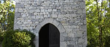
Walking

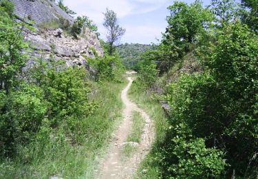
Walking
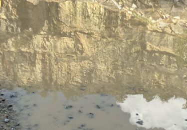
Walking