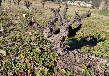
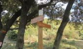
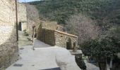
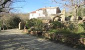
Trail Walking Roquebrun - L'Esquirol - Photo
 Pierre11
Pierre11

User

© OpenStreetMap contributors
Length
Length
18.2 km
Max alt
Max alt
502 m
Uphill gradient
Uphill gradient
789 m
Km-Effort
Km-Effort  
29 km
Min alt
Min alt
80 m
Downhill gradient
Downhill gradient
791 m
Boucle
Boucle
Yes
Creation date :
2017-01-09 00:00:00.0
Updated on :
2017-01-09 00:00:00.0

(0 Reviews)

Walking
Walking
6h04
Difficulty : Difficult

Scan this QR Code to open this trail in the SityTrail application

FREE GPS app for hiking

Logo SityTrail SityTrail

IGN / Geographical institutes

Download SityTrail from the App Store Download SityTrail from Google Play

Logo SityTrail SityTrail World

The world is yours!

Download SityTrail from the App Store Download SityTrail from Google Play Download SityTrail on Huawei AppGallery

About

Trail Walking of 18.2 km to be discovered at Occitania, Hérault, Roquebrun. This trail is proposed by Pierre11.

Description

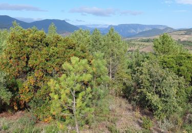
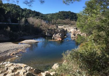
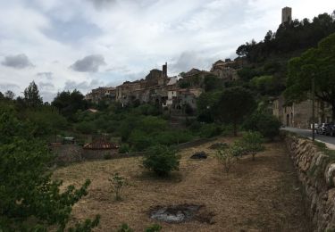
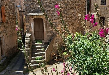
Au départ de Roquebrun, surnommé le "Petit Nice de l'Hérault", randonnée dans le massif de l'Esquirol, à l'abri du vent du nord. Le tracé suit en partie un GR de Pays "Tour au départ d'Olargues". Passage au hameau de Laurenque, où 9 nationalités cohabitent en bonne entente.
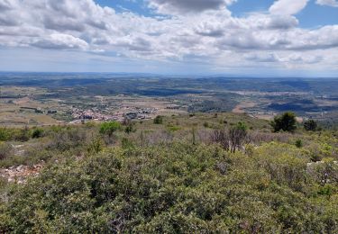
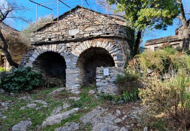
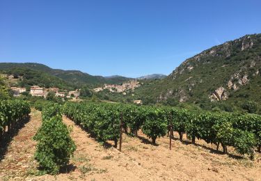
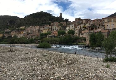
Au retour, passage près d'une ancienne marbrière et nouveau GR de Pays (Tour au départ de Bédarieux)avec un panorama final de toute beauté sur le village, baigné par l'Orb, fleuve côtier.
Parcours effectué le 8/1/17 - Merci Elise

Elevation profile

Photos

Points of interest

Point of interest Roquebrun - Col de Locnos - Photo
Pierre11
ROQUEBRUN 
Point of interest Roquebrun - hameau de Laurenque - Photo
Pierre11
Point of interest Saint-Nazaire-de-Ladarez - ferme de Libes - Photo
Pierre11
SAINT-NAZAIRE-DE-LADAREZ 

Positioning

Country:
France
Region :
Occitania
Department/Province :
Hérault
Municipality :
Roquebrun
Location:
Unknown
Start:(UTM)
502119 ; 4816273 (31T) N.

Trails nearby

Trail Walking Causses-et-Veyran - Mont Peyroux (Causses et Veyran) - Photo
Walking
Raymond DAVID

Walking

Difficult
Causses-et-Veyran, Occitania, Hérault, France
14.4 km | 22 km-effort
5h 30min
Yes
Trail Walking Vieussan - vieussan  - Photo
Walking
Paulodst

Walking

Medium
Vieussan, Occitania, Hérault, France
4.8 km | 7.7 km-effort
1h 42min
No
Trail Walking Vieussan - Tour de l’Ayrolle au départ de Vieussan. - Photo
Walking
PiloudeBamako

Walking

Medium
Vieussan, Occitania, Hérault, France
8.8 km | 13.1 km-effort
2h 24min
Yes
Trail Walking Causses-et-Veyran -  Causses-et-Veyran / Chaos de Réals (Gourniès) / Viranel / Combe longue - Photo
Walking
PiloudeBamako

Walking

Medium
Causses-et-Veyran, Occitania, Hérault, France
13.3 km | 16.4 km-effort
4h 26min
Yes
Trail Walking Roquebrun - roquebrun nord - Photo
Walking
mrclic34

Walking

Easy
(1)
Roquebrun, Occitania, Hérault, France
9.7 km | 14.3 km-effort
2h 58min
Yes
Trail Walking Roquebrun - roquebrun sud - Photo
Walking
mrclic34

Walking

Very easy
Roquebrun, Occitania, Hérault, France
9 km | 12.1 km-effort
2h 35min
Yes
Trail Walking Roquebrun - Les ayrolles depuis Ceps - Photo
Walking
katiab

Walking

Easy
Roquebrun, Occitania, Hérault, France
9.1 km | 13.7 km-effort
2h 45min
Yes
Trail Walking Roquebrun - 24 p1 - Photo
Walking
Taupunzien

Walking

Very difficult
Roquebrun, Occitania, Hérault, France
16.8 km | 23 km-effort
4h 52min
Yes
Trail Walking Vieussan - Vieussan Tour du Pin - Photo
Walking
ARVIEU

Walking

Difficult
Vieussan, Occitania, Hérault, France
15.4 km | 26 km-effort
5h 30min
Yes


Close
My subscriptions