


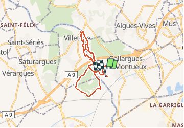

29 km | 33 km-effort


User


FREE GPS app for hiking
 SityTrail
IGN / Geographical institutes
SityTrail World
The world is yours!
Trail Equestrian of 19.4 km to be discovered at Occitania, Gard, Gallargues-le-Montueux. This trail is proposed by jp-lay.
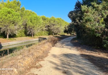
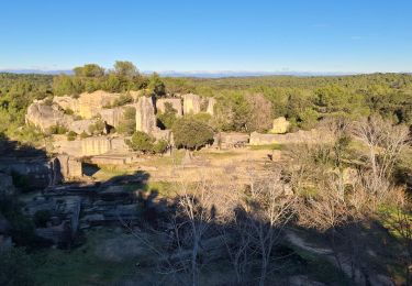
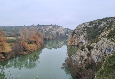
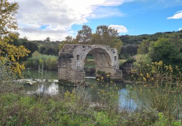
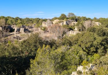
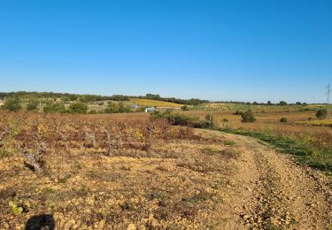
Au départ de Gallargues le Montueux, une balade vers le Mas de la Plume via Villetelle, le site gallo-romain dAmbrussum, le Mas de la Jassette, passage devant le Mas de la Plume et retour par la pinède et Villetelle

Mountain bike

Equestrian
Walking
Walking
Walking

Walking
Walking
Walking