


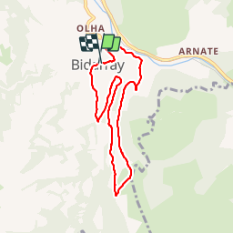


14.5 km | 26 km-effort

User


FREE GPS app for hiking
 SityTrail
IGN / Geographical institutes
SityTrail World
The world is yours!
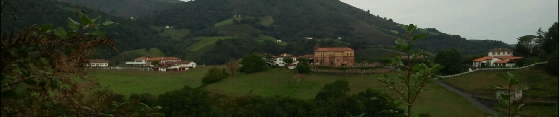
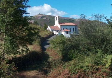
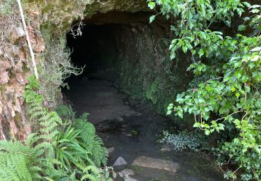
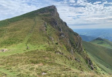
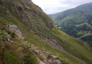
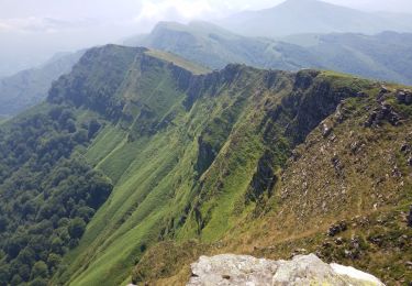
Trail Walking of 7.8 km to be discovered at New Aquitaine, Pyrénées-Atlantiques, Bidarray. This trail is proposed by DECHAMPD.
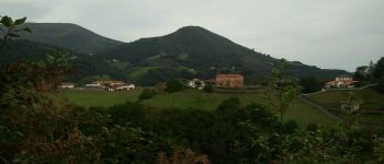
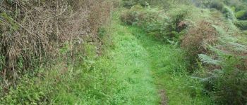
sur les hauteurs de Bidarray en passant par Kuxiborda, Otsandaburua, Harlepoko et le pont Noblia.
Circuit permettant de partir du village perché de Bidarray, de le traverser et d'y revenir en ayant pris un peu de hauteur.


Walking
Walking
Walking
Walking

Walking
Walking
Walking
Walking
Walking