


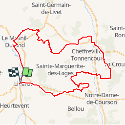

41 km | 50 km-effort


User


FREE GPS app for hiking
 SityTrail
IGN / Geographical institutes
SityTrail World
The world is yours!
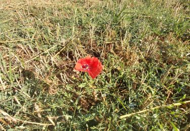
Trail Mountain bike of 41 km to be discovered at Normandy, Calvados, Livarot-Pays-d'Auge. This trail is proposed by fourmicrooonde.
autour de livarot et ste marguerite des loges

Mountain bike

Walking
On foot
On foot
Geocaching
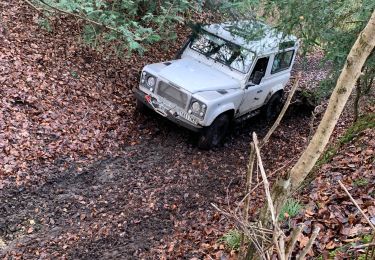
4x4
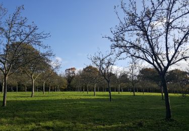
Walking

Walking