13.2 km | 15.6 km-effort
braches
jema.bernard
User
Length
13.4 km
Max alt
108 m
Uphill gradient
158 m
Km-Effort
15.5 km
Min alt
39 m
Downhill gradient
162 m
Boucle
No
Creation date :
2016-12-29 00:00:00.0
Updated on :
2016-12-29 00:00:00.0
3h04
Difficulty : Easy
FREE GPS app for hiking
About
Trail Other activity of 13.4 km to be discovered at Hauts-de-France, Somme, Braches. This trail is proposed by jema.bernard.
Description
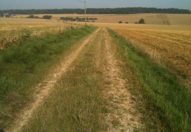
Rando très intéressante emprunte le GR 124
Positioning
Country:
France
Region :
Hauts-de-France
Department/Province :
Somme
Municipality :
Braches
Location:
Unknown
Start:(Dec)
Start:(UTM)
464249 ; 5508959 (31U) N.
Comments
Trails nearby
Les trois -Rivières
Walking
Difficult
Trois-Rivières,
Hauts-de-France,
Somme,
France
12 km | 13.9 km-effort
3h 9min
Yes
Comptoir Hamel
Other activity
Very easy
Trois-Rivières,
Hauts-de-France,
Somme,
France
13.4 km | 15.5 km-effort
2h 51min
No
Contoire Hamel
Walking
Easy
Trois-Rivières,
Hauts-de-France,
Somme,
France
12.2 km | 14 km-effort
3h 18min
Yes
Le Languéron
Walking
Medium
Grivesnes,
Hauts-de-France,
Somme,
France
12.8 km | 15.1 km-effort
3h 18min
Yes