11.2 km | 12.3 km-effort
Pr de la vallée du Loing
Ordijamo45
User
Length
13.2 km
Max alt
133 m
Uphill gradient
80 m
Km-Effort
14.3 km
Min alt
105 m
Downhill gradient
82 m
Boucle
Yes
Creation date :
2019-05-03 09:15:01.087
Updated on :
2019-05-03 09:15:01.164
3h10
Difficulty : Easy
FREE GPS app for hiking
About
Trail Walking of 13.2 km to be discovered at Centre-Loire Valley, Loiret, Montcresson. This trail is proposed by Ordijamo45.
Description
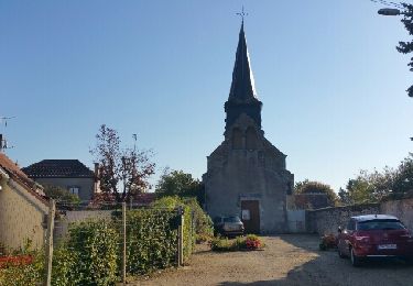
Départ du parking de l'église de Moncresson

Positioning
Country:
France
Region :
Centre-Loire Valley
Department/Province :
Loiret
Municipality :
Montcresson
Location:
Unknown
Start:(Dec)
Start:(UTM)
485603 ; 5305904 (31T) N.
Comments
Trails nearby
montcresson 45
Walking
Difficult
Montcresson,
Centre-Loire Valley,
Loiret,
France
11.9 km | 13.5 km-effort
3h 2min
No
Solterre 45 8km5
Walking
Easy
Solterre,
Centre-Loire Valley,
Loiret,
France
8.8 km | 9.5 km-effort
2h 23min
Yes
Montcresson (9Km)
Walking
Very easy
Montcresson,
Centre-Loire Valley,
Loiret,
France
9.1 km | 10 km-effort
1h 50min
Yes
Montbouy
Walking
Very easy
Montbouy,
Centre-Loire Valley,
Loiret,
France
11.6 km | 12.9 km-effort
2h 44min
Yes
conflans sur loing
Walking
Difficult
Conflans-sur-Loing,
Centre-Loire Valley,
Loiret,
France
14 km | 15.9 km-effort
2h 57min
No
SityTrail - 2745022 - 2021x04x12_19h06m18_gpxxtrace
On foot
Very easy
La Chapelle-sur-Aveyron,
Centre-Loire Valley,
Loiret,
France
9.9 km | 11.2 km-effort
Unknown
Yes
Pr des Barbiers
On foot
Easy
Pressigny-les-Pins,
Centre-Loire Valley,
Loiret,
France
8.2 km | 8.9 km-effort
2h 1min
Yes
Montcresson 45 (L'Orme au Muet) 11 km
Walking
Easy
Montcresson,
Centre-Loire Valley,
Loiret,
France
11.5 km | 12.7 km-effort
3h 0min
Yes