


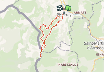

14.5 km | 26 km-effort


User


FREE GPS app for hiking
 SityTrail
IGN / Geographical institutes
SityTrail World
The world is yours!
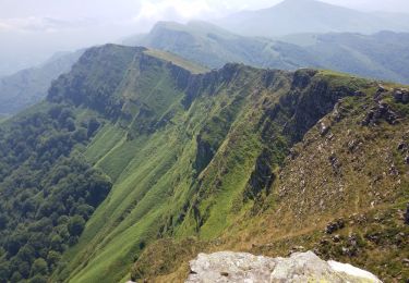
Trail Snowshoes of 13 km to be discovered at New Aquitaine, Pyrénées-Atlantiques, Bidarray. This trail is proposed by DECHAMPD.
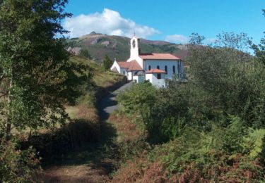
Départ depuis le parking devant la mairie de Bidarray (Pyrénées-Atlantiques 64)
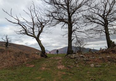
Jolis paysages de l'Artzamendi, Mondarrain,
Rhune et de toute la vallée.
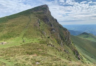
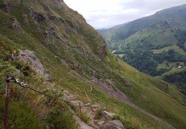
Attention le paysage se mérite, ça grimpe
Randogps Circuit de randonnée 301
Walking
Walking
Walking
Walking

Walking
Walking
Walking
Walking
Walking