


6.7 km | 9.1 km-effort


User


FREE GPS app for hiking
 SityTrail
IGN / Geographical institutes
SityTrail World
The world is yours!
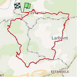
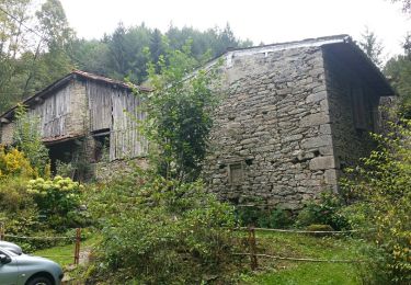
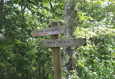
Trail Walking of 12.4 km to be discovered at Occitania, Ariège, La Bastide-de-Sérou. This trail is proposed by LOUIS09.
Walking
Electric bike
Walking

Winter sports
Running
Mountain bike
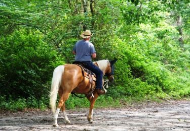
Equestrian
Equestrian

Equestrian
Bonjour,je n'ai pas de note à mettre (n'ayant pas fait le parcours) mais je voulais savoir 2 choses: 1) le départ semble être dans une propriété privée; y a-t-il un autre point (parking)possible?2)tous les chemins sont-ils entretenus?merci d'avance (je n'ai pas d'autre moyen de contacter l'auteur)