


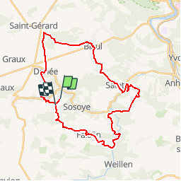


16.7 km | 21 km-effort


User GUIDE


FREE GPS app for hiking
 SityTrail
IGN / Geographical institutes
SityTrail World
The world is yours!
Trail Other activity of 31 km to be discovered at Wallonia, Namur, Anhée. This trail is proposed by pascalou73.
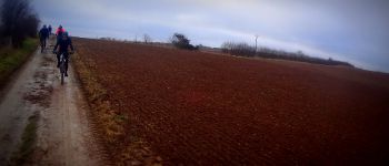
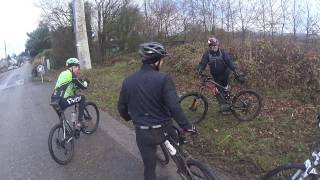
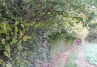
Au départ du village de noël le VTT va au fil des sentiers vous faire voir de beaux villages et une nature de toute beauté et vous pourrez en prenant de la hauteur voir le tracé de la molignée.


Walking

Walking

Walking

Walking

Walking

Walking

Walking

Walking
Walking