


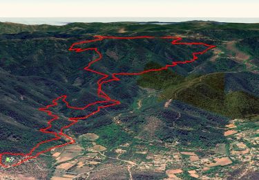
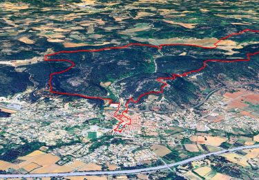
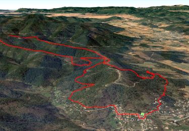
18 km | 26 km-effort

User


FREE GPS app for hiking
 SityTrail
IGN / Geographical institutes
SityTrail World
The world is yours!
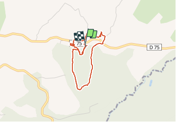
Trail Walking of 3.5 km to be discovered at Provence-Alpes-Côte d'Azur, Var, Gonfaron. This trail is proposed by Sugg.
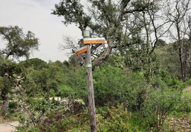
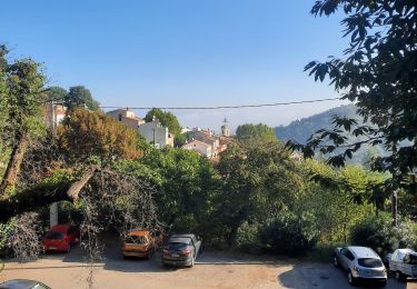
Repérage de la Zone départ arrivée stationnement pour le 14-12-16.
L'aire de stationnemnt du bois des Plaines est super.
Il y a de quoi faire autour pour des ballades de 7 à 8 kms super faciles.
J'en préparerai quelques-unes DQP.


Walking
Walking
Walking

Walking
Walking
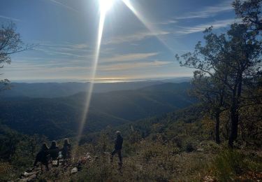
Walking
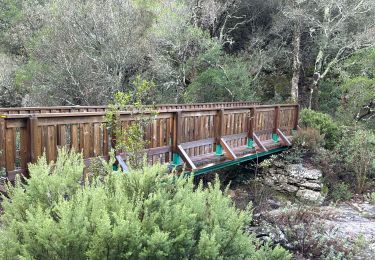
Walking
Walking
Walking
Coucou