


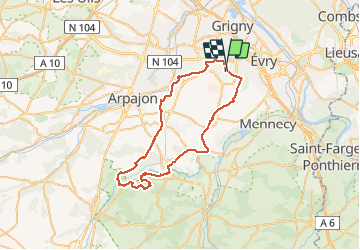

16 km | 17.9 km-effort


User


FREE GPS app for hiking
 SityTrail
IGN / Geographical institutes
SityTrail World
The world is yours!
Trail Mountain bike of 50 km to be discovered at Ile-de-France, Essonne, Bondoufle. This trail is proposed by Lucquiaud.
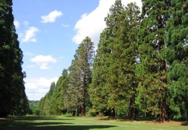
randonnée pour découvrir la Pierre Levée, la Tour de Pocancy, les chalets Ilex et les Rochers, le moulin de Goujon,le parc de la mairie de Lardy
bonne partie route à l'aller et au retour


Walking

Mountain bike
Mountain bike
Mountain bike
Walking
On foot


sport
Mountain bike
Mountain bike