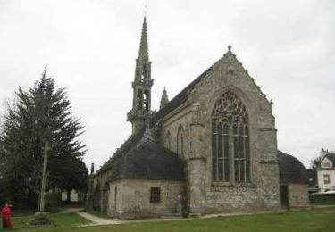
21 km | 26 km-effort
LANDELEAU
RonanDAGORN
User
Length
18.6 km
Max alt
139 m
Uphill gradient
323 m
Km-Effort
23 km
Min alt
61 m
Downhill gradient
324 m
Boucle
Yes
Creation date :
2016-12-10 00:00:00.0
Updated on :
2016-12-10 00:00:00.0
5h48
Difficulty : Easy
FREE GPS app for hiking
About
Trail Walking of 18.6 km to be discovered at Brittany, Finistère, Landeleau. This trail is proposed by RonanDAGORN.
Description
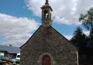
circuit de Kastell Gall
Positioning
Country:
France
Region :
Brittany
Department/Province :
Finistère
Municipality :
Landeleau
Location:
Unknown
Start:(Dec)
Start:(UTM)
445869 ; 5341773 (30U) N.
Comments
Trails nearby
Tro Speied : le bocage
On foot
Easy
Spézet,
Brittany,
Finistère,
France
14.7 km | 17.7 km-effort
4h 1min
Yes
Le_Bocage_Kerniou-Kerguen
On foot
Easy
Spézet,
Brittany,
Finistère,
France
9.6 km | 11.2 km-effort
2h 32min
Yes
Tro Speied - Spézet
Walking
Medium
Spézet,
Brittany,
Finistère,
France
21 km | 25 km-effort
6h 0min
Yes
Tro Speied : le canal
On foot
Easy
Spézet,
Brittany,
Finistère,
France
10.1 km | 12.1 km-effort
2h 45min
Yes
Cléden Poher et le canal de Nantes à Brest
Walking
Difficult
Cléden-Poher,
Brittany,
Finistère,
France
21 km | 24 km-effort
4h 30min
Yes
SPEZET / Pont Triffen
Walking
Difficult
Spézet,
Brittany,
Finistère,
France
14 km | 16.7 km-effort
3h 39min
Yes