


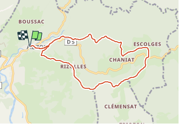

15.2 km | 24 km-effort


User GUIDE


FREE GPS app for hiking
 SityTrail
IGN / Geographical institutes
SityTrail World
The world is yours!
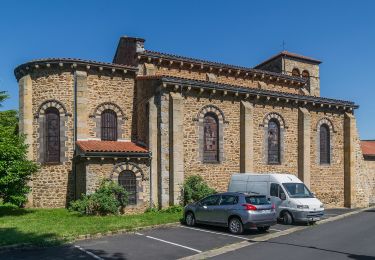
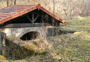
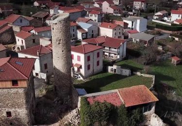
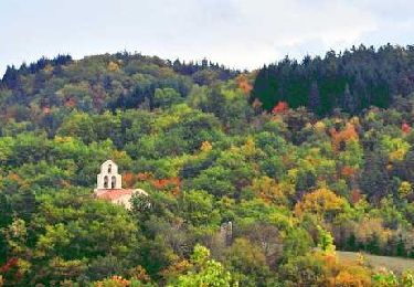
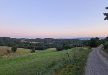
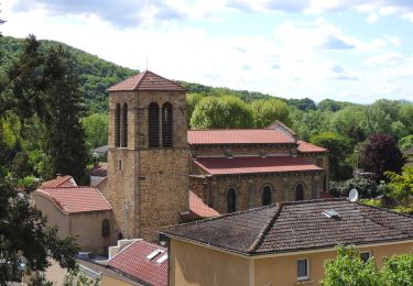
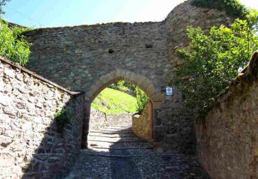
Trail Walking of 9.1 km to be discovered at Auvergne-Rhône-Alpes, Haute-Loire, Auzon. This trail is proposed by jagarnier.
Dans les premiers degrés des monts du Livradois, cette randonnée multiplie les points de vue sur les massifs volcaniques de l'ouest de l'Auvergne.
Son charme tient aussi aux petits hameaux qui la jalonnent.

On foot

Quad
Walking

Walking
Walking
Walking
Walking
Walking
Walking