


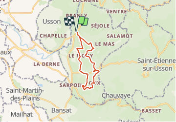

9.3 km | 11.9 km-effort

User GUIDE


FREE GPS app for hiking
 SityTrail
IGN / Geographical institutes
SityTrail World
The world is yours!
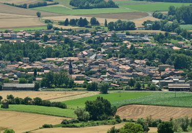
Trail Walking of 10 km to be discovered at Auvergne-Rhône-Alpes, Puy-de-Dôme, Saint-Jean-en-Val. This trail is proposed by jagarnier.
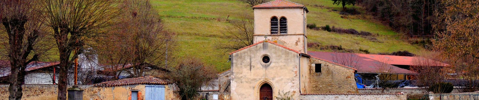
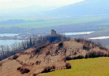
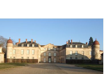
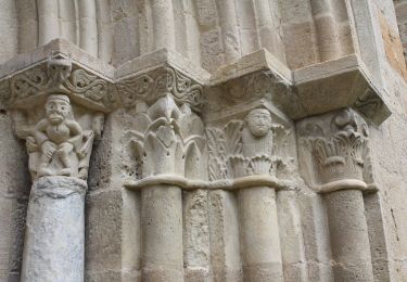
Un circuit conseillé aux amateurs de vieilles pierres, du hameau typique de Mouy aux très beaux vestiges du chäteau de la Valette

Walking
Walking
Walking

On foot
On foot

On foot
On foot

On foot
Walking