


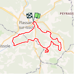

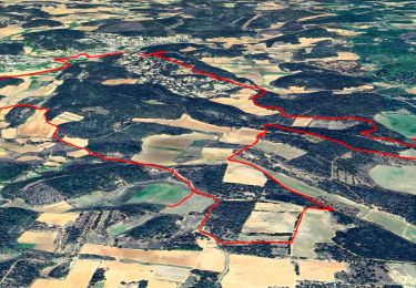
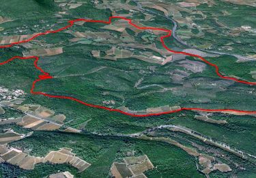
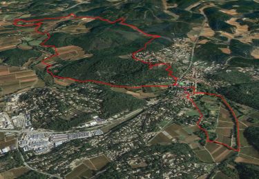
15.5 km | 19.3 km-effort

User


FREE GPS app for hiking
 SityTrail
IGN / Geographical institutes
SityTrail World
The world is yours!
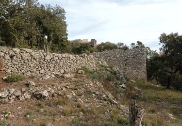
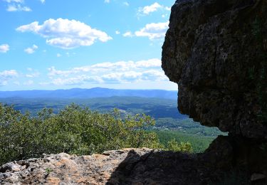
Trail Walking of 19.2 km to be discovered at Provence-Alpes-Côte d'Azur, Var, Flassans-sur-Issole. This trail is proposed by Sugg.
30-11-16
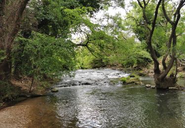
Rando GR1 dont l'objectif est la découverte du lac Redon, une mare temporaire comme il en existe peu en Méditerranée.
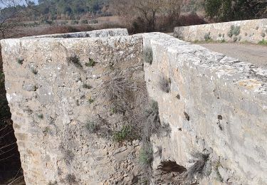
Parcours sans difficultés avec un peu de pistes goudronnées, mais bon, on fait avec.
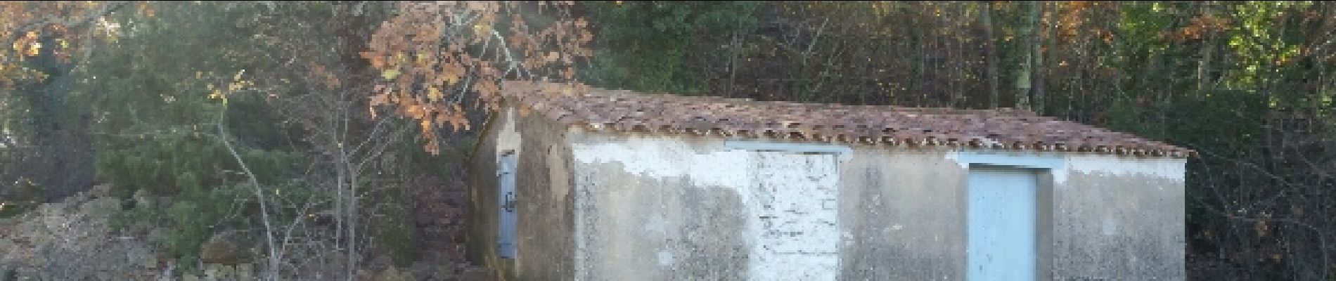
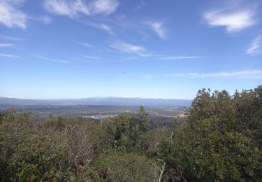
Belles couleurs d'automne.


Walking
Walking
Walking
Walking
Walking

Walking
Walking
Walking
Walking