63 km | 113 km-effort
col paloumere
Fildesir
User
Length
12.7 km
Max alt
1775 m
Uphill gradient
828 m
Km-Effort
24 km
Min alt
1033 m
Downhill gradient
828 m
Boucle
Yes
Creation date :
2016-11-24 00:00:00.0
Updated on :
2016-11-24 00:00:00.0
6h40
Difficulty : Unknown
FREE GPS app for hiking
About
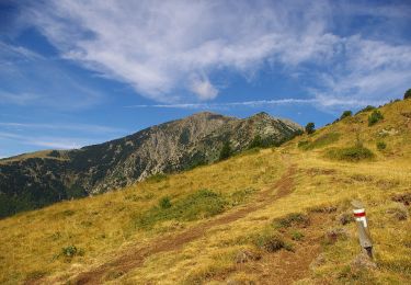
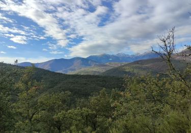
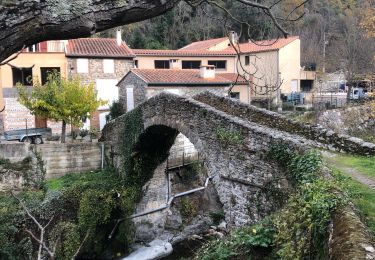
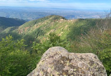
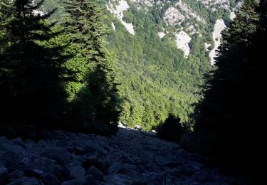
Trail Walking of 12.7 km to be discovered at Occitania, Pyrénées-Orientales, La Bastide. This trail is proposed by Fildesir.
Description
caminem
Positioning
Country:
France
Region :
Occitania
Department/Province :
Pyrénées-Orientales
Municipality :
La Bastide
Location:
Unknown
Start:(Dec)
Start:(UTM)
464339 ; 4709318 (31T) N.
Comments
Trails nearby
Tour del Canigó
On foot
Very difficult
Valmanya,
Occitania,
Pyrénées-Orientales,
France
25h 42min
Yes
Tour du Canigou
Walking
Medium
(2)
Corsavy,
Occitania,
Pyrénées-Orientales,
France
68 km | 118 km-effort
23h 54min
Yes
20241013 Los Masos-Prat Cabrera…
sport
Very easy
Valmanya,
Occitania,
Pyrénées-Orientales,
France
13.1 km | 24 km-effort
Unknown
Yes
Boule d’amont /Chapelle de la Trinité / Prunet
Walking
Easy
Prunet-et-Belpuig,
Occitania,
Pyrénées-Orientales,
France
11.2 km | 16 km-effort
3h 6min
Yes
20221127 Baillestavy- Valmanya - - Prat Mitja
Walking
Difficult
Baillestavy,
Occitania,
Pyrénées-Orientales,
France
16.8 km | 30 km-effort
5h 2min
Yes
2022 TRANSPYRÉNÉENNE : refuge de Batere -Montalba - HOSTAL dels Traucayres
Walking
Very difficult
Corsavy,
Occitania,
Pyrénées-Orientales,
France
43 km | 72 km-effort
10h 28min
No
20220519 Ballestavy
Walking
Medium
Baillestavy,
Occitania,
Pyrénées-Orientales,
France
12.6 km | 21 km-effort
3h 28min
Yes
Los Masos Prat Cabrera
Walking
Very difficult
Valmanya,
Occitania,
Pyrénées-Orientales,
France
12.6 km | 23 km-effort
3h 37min
Yes
20210705 Pic du Canigou par L’os Masos de Valmanya
Walking
Difficult
Valmanya,
Occitania,
Pyrénées-Orientales,
France
23 km | 49 km-effort
7h 12min
Yes