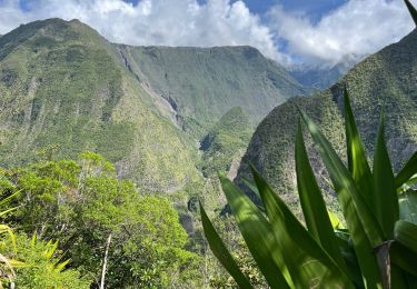
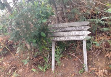
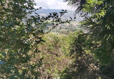
11.9 km | 24 km-effort
mollaret Jp
francejpp
User
Length
22 km
Max alt
1750 m
Uphill gradient
1562 m
Km-Effort
42 km
Min alt
698 m
Downhill gradient
1353 m
Boucle
No
Creation date :
2016-11-23 00:00:00.0
Updated on :
2016-11-23 00:00:00.0
7h47
Difficulty : Medium
FREE GPS app for hiking
About
Trail Walking of 22 km to be discovered at Réunion, Unknown, Le Tampon. This trail is proposed by francejpp.
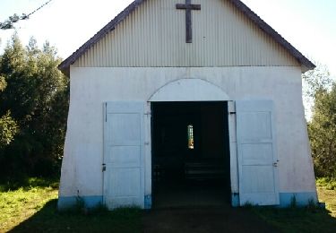
Positioning
Country:
France
Region :
Réunion
Department/Province :
Unknown
Municipality :
Le Tampon
Location:
Unknown
Start:(Dec)
Start:(UTM)
348116 ; 7656069 (40K) S.
Comments
Trails nearby
La Réunion - Le Dimitile (aller-retour) par le sentier de la chapelle.
Walking
Medium
(1)
Entre-Deux,
Réunion,
Unknown,
France
5h 29min
Yes
Grand Bassin à partir de Bois Court
Walking
Difficult
(1)
Le Tampon,
Réunion,
Unknown,
France
9.5 km | 22 km-effort
4h 23min
Yes
boucle citrons galets
Walking
Medium
(1)
Entre-Deux,
Réunion,
Unknown,
France
17.4 km | 33 km-effort
6h 50min
Yes
Jacky Inard jusqu'à la 1ere echelle
Walking
Very difficult
Entre-Deux,
Réunion,
Unknown,
France
17 km | 37 km-effort
8h 19min
Yes
Voile de la Mariée par Grand Bassin
Trail
Difficult
Le Tampon,
Réunion,
Unknown,
France
10.4 km | 25 km-effort
3h 20min
Yes
3 pitons à Bourg Murat
On foot
Medium
Le Tampon,
Réunion,
Unknown,
France
12.4 km | 16.4 km-effort
Unknown
Yes
grand bassin mollaret piton rando
Walking
Difficult
(1)
Le Tampon,
Réunion,
Unknown,
France
18.9 km | 37 km-effort
7h 30min
Yes
Murat nez de bœuf
Walking
Very easy
(1)
Le Tampon,
Réunion,
Unknown,
France
15.9 km | 23 km-effort
5h 23min
Yes
Coteau Maigre
Walking
Difficult
(2)
Le Tampon,
Réunion,
Unknown,
France
16.8 km | 26 km-effort
5h 26min
Yes