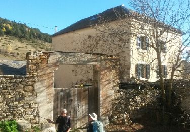
11.8 km | 18.2 km-effort
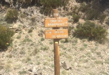
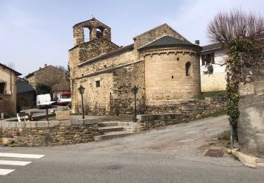
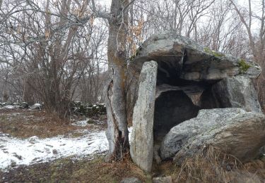
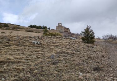
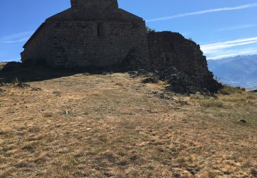
de Ur vers La Chapelle de Belloc
ThonyM
User
Length
20 km
Max alt
1700 m
Uphill gradient
618 m
Km-Effort
28 km
Min alt
1203 m
Downhill gradient
620 m
Boucle
Yes
Creation date :
2016-11-17 00:00:00.0
Updated on :
2016-11-17 00:00:00.0
7h14
Difficulty : Easy
FREE GPS app for hiking
About
Trail Walking of 20 km to be discovered at Occitania, Pyrénées-Orientales, Ur. This trail is proposed by ThonyM.
Description
Une belle randonnée pas difficile
Positioning
Country:
France
Region :
Occitania
Department/Province :
Pyrénées-Orientales
Municipality :
Ur
Location:
Unknown
Start:(Dec)
Start:(UTM)
412579 ; 4701688 (31T) N.
Comments
Trails nearby
20220328 Estavar-Tartassonne(?)
Walking
Medium
Estavar,
Occitania,
Pyrénées-Orientales,
France
14.8 km | 22 km-effort
3h 16min
Yes
2021-02-10 Sortie CAF - Port de Maurà depuis Dorres
Snowshoes
Difficult
Dorres,
Occitania,
Pyrénées-Orientales,
France
17.9 km | 31 km-effort
9h 0min
Yes
2021-02-09 Sortie CAF - Dorres - Chapelle de Belloc - Dolmen de Brangoli
Walking
Easy
Dorres,
Occitania,
Pyrénées-Orientales,
France
13 km | 19.3 km-effort
5h 0min
Yes
d'ores 2
Walking
Medium
Dorres,
Occitania,
Pyrénées-Orientales,
France
7.7 km | 11.1 km-effort
2h 46min
Yes
Bena
Walking
Medium
Enveitg,
Occitania,
Pyrénées-Orientales,
France
11.9 km | 21 km-effort
3h 32min
No
Le chemin du Belloc
Walking
Dorres,
Occitania,
Pyrénées-Orientales,
France
5.6 km | 8.9 km-effort
1h 44min
No
Dorres vers les estanyets
Walking
Difficult
Dorres,
Occitania,
Pyrénées-Orientales,
France
18 km | 30 km-effort
8h 49min
Yes
Très belle randonnée proposant des paysages variée. Après le 13ème km, cependant, nous n'avons pas réussi à rejoindre, hors sentier, le Riu de Brangoly selon la trace GPX (trop de broussailles) et avons dû reprendre la route. Mais elle est très peu fréquentée et traverse un joli paysage. Bref, aucun regret.