


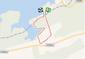


4.2 km | 5.2 km-effort

User GUIDE


FREE GPS app for hiking
 SityTrail
IGN / Geographical institutes
SityTrail World
The world is yours!
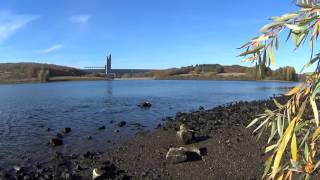
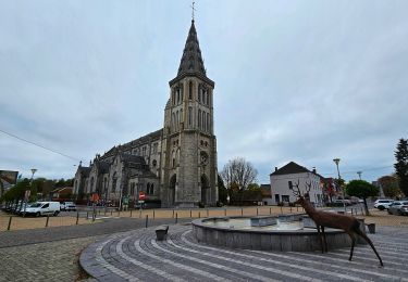
Trail Walking of 2.1 km to be discovered at Wallonia, Hainaut, Froidchapelle. This trail is proposed by Desrumaux.
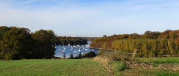
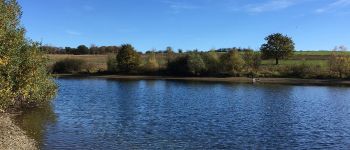
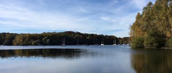
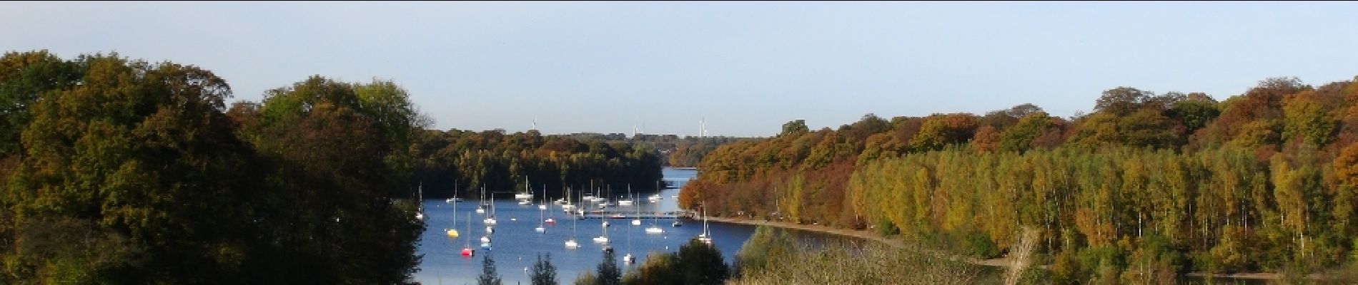
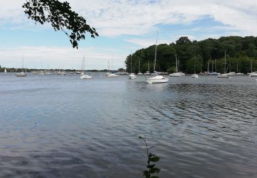
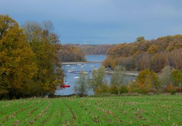
Jolie promenade proposée par l'ASBL Les Lacs de l'Eau d'Heure.Les Lacs de l’Eau d’Heure recèlent
de nombreux endroits surprenants
et secrets.
La crique aux cabiniers est sans
aucun doute un de ces plus beaux
endroits. Balisage : rectangle jaune


Walking

Walking
Walking

Walking

Walking
Walking
Walking
Walking
On foot