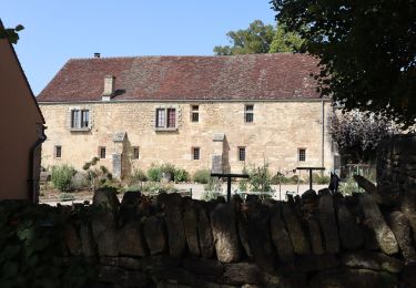
Trail Walking Gevrey-Chambertin - Gevrey-Chambertin : combe et vignes - Photo

Gevrey-Chambertin : combe et vignes

 yew
yew

User

© OpenStreetMap contributors
Length
Length
9.8 km
Max alt
Max alt
420 m
Uphill gradient
Uphill gradient
203 m
Km-Effort
Km-Effort  
12.5 km
Min alt
Min alt
279 m
Downhill gradient
Downhill gradient
208 m
Boucle
Boucle
Yes
Creation date :
2016-11-13 00:00:00.0
Updated on :
2016-11-13 00:00:00.0

(0 Reviews)

Walking
Walking
2h20
Difficulty : Medium

Scan this QR Code to open this trail in the SityTrail application

FREE GPS app for hiking

Logo SityTrail SityTrail

IGN / Geographical institutes

Download SityTrail from the App Store Download SityTrail from Google Play

Logo SityTrail SityTrail World

The world is yours!

Download SityTrail from the App Store Download SityTrail from Google Play Download SityTrail on Huawei AppGallery

About

Trail Walking of 9.8 km to be discovered at Bourgogne-Franche-Comté, Côte-d'Or, Gevrey-Chambertin. This trail is proposed by yew.

Description

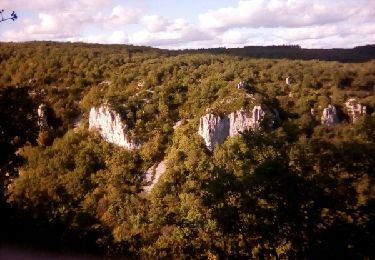
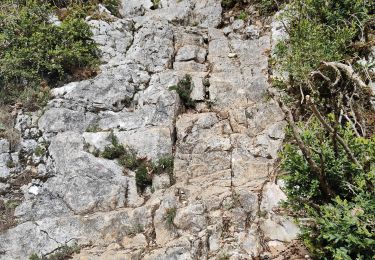
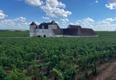
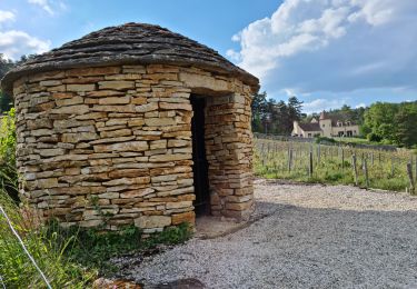
Ce trajet emprunte divers itinéraires locaux bien tracés. Les 2 premiers Km suivent l'ancienne ligne du tacot sur un chemin agréable et large. La partie de la combe de Morey St Denis (point 2) est en chemin de falaise avec une remontée sur chemin en pierrier, ce qui justifie ici le classement en moyen, surtout par temps humide (bonne chaussures). La rentrée par les vignes est belle en automne mais un peu gâchée par le bruit des voitures sur la nationale, bien éloignée. Quelques grosses traces d'exploitation forestière et des enclos limitent un peu l'accès au tracé. De belles ouvertures sur la plainte.

Elevation profile

Photos

Points of interest

Point of interest Gevrey-Chambertin - Point 1 - Photo
yew
GEVREY-CHAMBERTIN 

Positioning

Country:
France
Region :
Bourgogne-Franche-Comté
Department/Province :
Côte-d'Or
Municipality :
Gevrey-Chambertin
Location:
Unknown
Start:(UTM)
648640 ; 5231515 (31T) N.

Trails nearby

Trail Walking Brochon - falaises et plateau - Photo
Walking
mpstoop

Walking

Difficult
(1)
Brochon, Bourgogne-Franche-Comté, Côte-d'Or, France
15.9 km | 22 km-effort
4h 45min
No
Trail On foot Vougeot - Circuit des Moines (Vin - Divin) - Photo
On foot
GUIDE+

On foot

Easy
Vougeot, Bourgogne-Franche-Comté, Côte-d'Or, France
15.7 km | 17.4 km-effort
3h 56min
No
Trail Mountain bike Curley - raidetoto2017 sam - Photo
Mountain bike
Tollard

Mountain bike

Difficult
(1)
Curley, Bourgogne-Franche-Comté, Côte-d'Or, France
67 km | 88 km-effort
7h 2min
Yes
Trail Walking Fixin - nouveaux chemins - Photo
Walking
Fred5

Walking

Medium
(1)
Fixin, Bourgogne-Franche-Comté, Côte-d'Or, France
12.6 km | 16.5 km-effort
3h 3min
Yes
Trail Walking Brochon - Boucle des cent marches et du pavillon de l'empereur  - Photo
Walking
dudu42

Walking

Medium
Brochon, Bourgogne-Franche-Comté, Côte-d'Or, France
5.5 km | 8.1 km-effort
1h 38min
Yes
Trail Walking Vougeot - Autour de Clos Vougeot - Photo
Walking
jpbonnemains

Walking

Very easy
Vougeot, Bourgogne-Franche-Comté, Côte-d'Or, France
11.2 km | 14.2 km-effort
3h 3min
No
Trail Walking Chambolle-Musigny - 08 06 22  Chambolle Musigny Gevrey Chambertin - Photo
Walking
marchalombre

Walking

Medium
Chambolle-Musigny, Bourgogne-Franche-Comté, Côte-d'Or, France
14.3 km | 19.1 km-effort
4h 47min
Yes
Trail On foot Gevrey-Chambertin - Sentier Bernard Quarteaux - Photo
On foot
GUIDE+

On foot

Easy
Gevrey-Chambertin, Bourgogne-Franche-Comté, Côte-d'Or, France
6.4 km | 9.5 km-effort
2h 10min
Yes
Trail Walking Fixin - fixin - Photo
Walking
hueco

Walking

Very easy
(1)
Fixin, Bourgogne-Franche-Comté, Côte-d'Or, France
14.9 km | 19.8 km-effort
3h 49min
Yes


Close
My subscriptions