


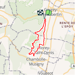


15.9 km | 22 km-effort

User


FREE GPS app for hiking
 SityTrail
IGN / Geographical institutes
SityTrail World
The world is yours!
Trail Walking of 9.8 km to be discovered at Bourgogne-Franche-Comté, Côte-d'Or, Gevrey-Chambertin. This trail is proposed by yew.
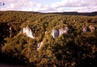
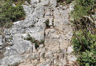
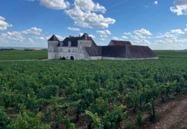
Ce trajet emprunte divers itinéraires locaux bien tracés. Les 2 premiers Km suivent l'ancienne ligne du tacot sur un chemin agréable et large. La partie de la combe de Morey St Denis (point 2) est en chemin de falaise avec une remontée sur chemin en pierrier, ce qui justifie ici le classement en moyen, surtout par temps humide (bonne chaussures). La rentrée par les vignes est belle en automne mais un peu gâchée par le bruit des voitures sur la nationale, bien éloignée. Quelques grosses traces d'exploitation forestière et des enclos limitent un peu l'accès au tracé. De belles ouvertures sur la plainte.

Walking
Walking

On foot

Mountain bike

Walking
Walking
Walking
On foot
Walking