


13 km | 14.9 km-effort


User


FREE GPS app for hiking
 SityTrail
IGN / Geographical institutes
SityTrail World
The world is yours!
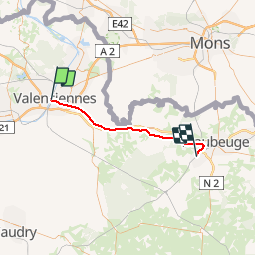
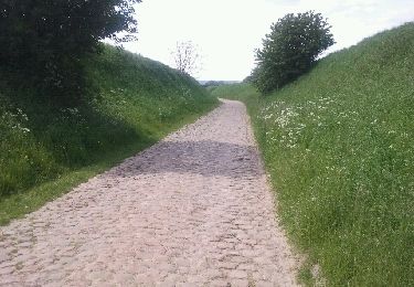
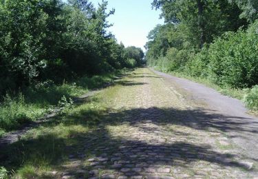
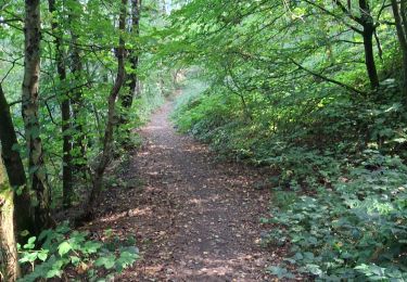
Trail Other activity of 36 km to be discovered at Hauts-de-France, Nord, Valenciennes. This trail is proposed by mich54.
La ligne de Valenciennes-Faubourg-de-Paris à Hautmont est une ligne ferroviaire française à écartement standard de la région Nord-Pas-de-Calais. Elle relie la Gare de Valenciennes-Faubourg-de-Paris (aujourd'hui fermée) à celle d'Hautmont. Elle est déclassée de Valenciennes à Bavay, et réservée au trafic de fret de Bavay à Hautmont.(Source Wikipédia)

Walking

Walking

Walking
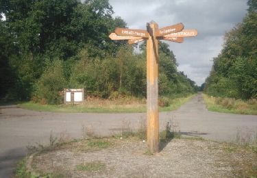
Walking
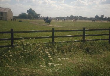
Walking
Walking
Mountain bike
Walking
Walking