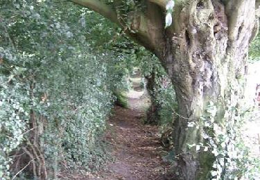
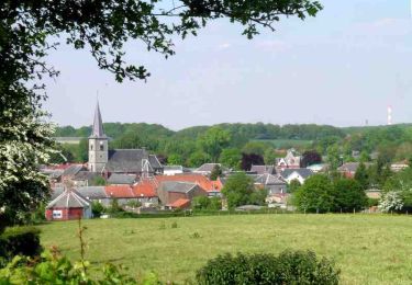
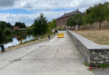
Trail Other activity Ferrière-la-Grande - Nord - Pas-de-Calais - Ligne 241 - Ferrère-la-Grande - Cousolre - Photo

Nord - Pas-de-Calais - Ligne 241 - Ferrère-la-Grande - Cousolre

 mich54
mich54

User

© OpenStreetMap contributors
Length
Length
11.2 km
Max alt
Max alt
210 m
Uphill gradient
Uphill gradient
110 m
Km-Effort
Km-Effort  
12.5 km
Min alt
Min alt
132 m
Downhill gradient
Downhill gradient
55 m
Boucle
Boucle
No
Creation date :
2016-11-03 00:00:00.0
Updated on :
2016-11-03 00:00:00.0

(0 Reviews)

Other activity
Other activity
5m
Difficulty : Unknown

Scan this QR Code to open this trail in the SityTrail application

FREE GPS app for hiking

Logo SityTrail SityTrail

IGN / Geographical institutes

Download SityTrail from the App Store Download SityTrail from Google Play

Logo SityTrail SityTrail World

The world is yours!

Download SityTrail from the App Store Download SityTrail from Google Play Download SityTrail on Huawei AppGallery

About

Trail Other activity of 11.2 km to be discovered at Hauts-de-France, Nord, Ferrière-la-Grande. This trail is proposed by mich54.

Description

La ligne de Ferrière-la-Grande à Cousolre est une ligne ferroviaire à voie unique non électrifiée reliant la gare de Ferrière-la-Grande à celle de Cousolre. Elle n'est plus utilisée pour le trafic voyageur du TER Nord-Pas-de-Calais, mais reste utilisée pour le fret.(Source Wikipédia)

Elevation profile

Positioning

Country:
France
Region :
Hauts-de-France
Department/Province :
Nord
Municipality :
Ferrière-la-Grande
Location:
Unknown
Start:(UTM)
571191 ; 5567577 (31U) N.

Trails nearby

Trail Walking Obrechies - Circuit des écoliers d'Obrechies - Photo
Walking
tracegps

Walking

Easy
(2)
Obrechies, Hauts-de-France, Nord, France
6.5 km | 7.9 km-effort
1h 45min
Yes
Trail Walking Ferrière-la-Grande - Circuit des censes de Raidmont - Ferriére la Grande - Photo
Walking
tracegps

Walking

Medium
(1)
Ferrière-la-Grande, Hauts-de-France, Nord, France
9.9 km | 11.2 km-effort
2h 30min
Yes
Trail Walking Boussois - Boussois 15 km - Photo
Walking
GUIDE
rvapeldo

Walking

Easy
Boussois, Hauts-de-France, Nord, France
15 km | 16.4 km-effort
4h 22min
Yes
Trail Cycle Rousies - Maubeuge  Hirson  - Photo
Cycle
svp59

Cycle

Medium
Rousies, Hauts-de-France, Nord, France
56 km | 65 km-effort
5h 14min
No
Trail Walking Ferrière-la-Petite - Circuit du grès salé - Photo
Walking

Walking

Very easy
Ferrière-la-Petite, Hauts-de-France, Nord, France
5.6 km | 6.5 km-effort
Unknown
Yes
Trail Mountain bike Maubeuge - Circuit du Clair de Lune - Maubeuge - Photo
Mountain bike
tracegps

Mountain bike

Easy
Maubeuge, Hauts-de-France, Nord, France
10 km | 11.2 km-effort
1h 15min
Yes
Trail Mountain bike Maubeuge - Circuit du patrimoine de Maubeuge - Photo
Mountain bike
tracegps

Mountain bike

Easy
Maubeuge, Hauts-de-France, Nord, France
5 km | 5.6 km-effort
30min
Yes
Trail Mountain bike Maubeuge - Les défenseurs de Maubeuge - Photo
Mountain bike
tracegps

Mountain bike

Easy
Maubeuge, Hauts-de-France, Nord, France
10.4 km | 11.5 km-effort
1h 0min
Yes
Trail Mountain bike Maubeuge - Liaison Voie Verte de l'Avesnois - Maubeuge - Photo
Mountain bike
tracegps

Mountain bike

Easy
Maubeuge, Hauts-de-France, Nord, France
19.1 km | 21 km-effort
2h 0min
Yes


Close
My subscriptions