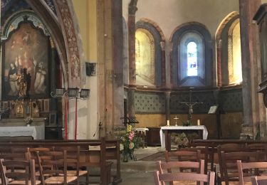
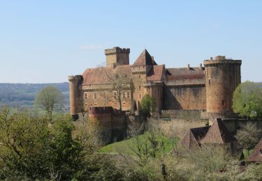
13.5 km | 19.8 km-effort
le Verdié
alain46
User
Length
14.3 km
Max alt
424 m
Uphill gradient
316 m
Km-Effort
18.6 km
Min alt
142 m
Downhill gradient
321 m
Boucle
Yes
Creation date :
2016-12-23 00:00:00.0
Updated on :
2016-12-23 00:00:00.0
1h04
Difficulty : Very easy
FREE GPS app for hiking
About
Trail Cycle of 14.3 km to be discovered at Occitania, Lot, Estal. This trail is proposed by alain46.
Positioning
Country:
France
Region :
Occitania
Department/Province :
Lot
Municipality :
Estal
Location:
Unknown
Start:(Dec)
Start:(UTM)
414687 ; 4975380 (31T) N.
Comments
Trails nearby
la Maurelle-candes
Walking
Medium
Laval-de-Cère,
Occitania,
Lot,
France
8.6 km | 10.8 km-effort
3h 15min
No
Biars 27km-6884037
Mountain bike
Difficult
Cornac,
Occitania,
Lot,
France
28 km | 39 km-effort
2h 42min
Yes
RANDO BRETENOUX 75 KM-3035703
Mountain bike
Difficult
Cornac,
Occitania,
Lot,
France
29 km | 41 km-effort
2h 50min
Yes
SityTrail - 4x4 gorges de la cère
Mountain bike
Very difficult
Teyssieu,
Occitania,
Lot,
France
37 km | 51 km-effort
3h 31min
Yes
randogps46-194
Walking
Difficult
Glanes,
Occitania,
Lot,
France
14.6 km | 18.4 km-effort
4h 11min
Yes