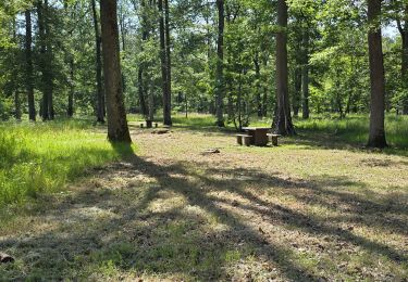
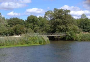
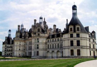
39 km | 43 km-effort
Muides sur Loire Chambord Muides
Jeanlouisbray
User
Length
37 km
Max alt
114 m
Uphill gradient
280 m
Km-Effort
40 km
Min alt
70 m
Downhill gradient
280 m
Boucle
Yes
Creation date :
2016-10-30 00:00:00.0
Updated on :
2016-10-30 00:00:00.0
3h27
Difficulty : Easy
FREE GPS app for hiking
About
Trail Cycle of 37 km to be discovered at Centre-Loire Valley, Loir-et-Cher, Muides-sur-Loire. This trail is proposed by Jeanlouisbray.
Description
rando routes pistes cyclables allées forestières
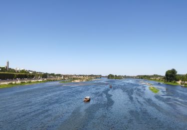
Positioning
Country:
France
Region :
Centre-Loire Valley
Department/Province :
Loir-et-Cher
Municipality :
Muides-sur-Loire
Location:
Unknown
Start:(Dec)
Start:(UTM)
388084 ; 5279820 (31T) N.
Comments
Trails nearby
Itinéraire 12 - Au fil de Loire
Road bike
Very difficult
(1)
Muides-sur-Loire,
Centre-Loire Valley,
Loir-et-Cher,
France
2h 36min
Yes
Parc de Chambord et ses postes d'observation
Walking
Easy
(1)
Chambord,
Centre-Loire Valley,
Loir-et-Cher,
France
20 km | 22 km-effort
5h 3min
Yes
petite marche 6 km dans chambord
On foot
Easy
(1)
Chambord,
Centre-Loire Valley,
Loir-et-Cher,
France
6.1 km | 6.9 km-effort
1h 33min
Yes
Muides Blois Chambord
Hybrid bike
Medium
Muides-sur-Loire,
Centre-Loire Valley,
Loir-et-Cher,
France
51 km | 57 km-effort
4h 41min
No
saint dyé
Walking
Easy
Saint-Dyé-sur-Loire,
Centre-Loire Valley,
Loir-et-Cher,
France
2.4 km | 2.7 km-effort
2h 10min
Yes
Chambord-Rond point François 1°
Walking
Very easy
Chambord,
Centre-Loire Valley,
Loir-et-Cher,
France
8.7 km | 9.7 km-effort
1h 55min
Yes
De Beaugency à Chambord
Cycle
Easy
Chambord,
Centre-Loire Valley,
Loir-et-Cher,
France
28 km | 31 km-effort
1h 49min
No
Suevres le Domino
Walking
Medium
Suèvres,
Centre-Loire Valley,
Loir-et-Cher,
France
10.4 km | 11.1 km-effort
4h 1min
No
malives
Walking
Very easy
Maslives,
Centre-Loire Valley,
Loir-et-Cher,
France
12.7 km | 13.7 km-effort
2h 59min
Yes