


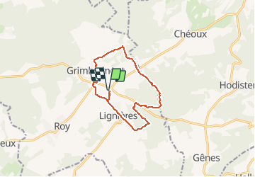

18.4 km | 24 km-effort


User


FREE GPS app for hiking
 SityTrail
IGN / Geographical institutes
SityTrail World
The world is yours!
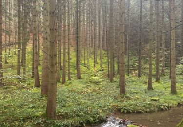
Trail Walking of 11 km to be discovered at Wallonia, Luxembourg, Marche-en-Famenne. This trail is proposed by Wernerch.
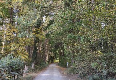
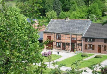
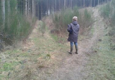
Joli parcours varié.Un peu d'asphalte pour commencer. Une belle grimpette pour arriver sur les hauteurs de Grimbiémont. Quelques chemins de campagne avant d'entamer la partie boisée.

Walking

Walking

Walking
Walking

Walking

Walking
Walking
Walking
Walking