


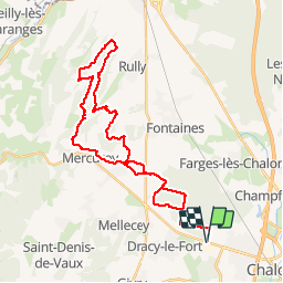

14.3 km | 19.4 km-effort


User


FREE GPS app for hiking
 SityTrail
IGN / Geographical institutes
SityTrail World
The world is yours!
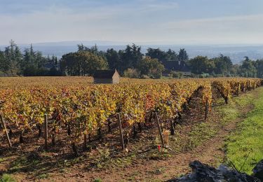
Trail Mountain bike of 36 km to be discovered at Bourgogne-Franche-Comté, Saône-et-Loire, Mellecey. This trail is proposed by XavierFaidix.
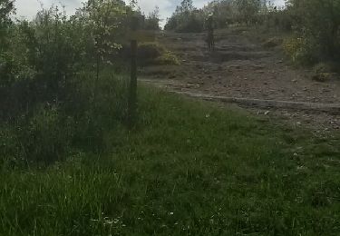
parcours roulant à l'allée et au retour dans le bois de marloux
beaux singles montant et descendant dans les sous bois
un portage dans les bois de ruly

Walking
Walking

Walking
Walking
Walking
Walking
Mountain bike
Walking
Walking