


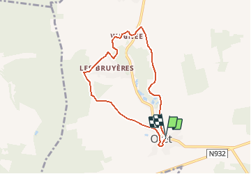

24 km | 29 km-effort


User GUIDE


FREE GPS app for hiking
 SityTrail
IGN / Geographical institutes
SityTrail World
The world is yours!
Trail Walking of 6.3 km to be discovered at Wallonia, Namur, Mettet. This trail is proposed by Desrumaux.
Cette promenade est une version raccourcie du circuit De Biesme à Oret
Détails de la rando sur TraceGPS.com
http://www.tracegps.com/fr/parcours/circuit10929.htm
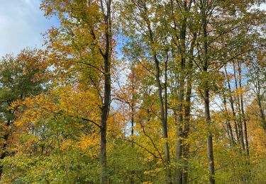
Walking
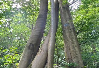
Walking
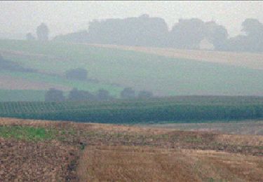
Walking
Walking

Walking
Walking
Walking
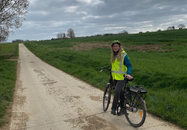
Road bike

Walking