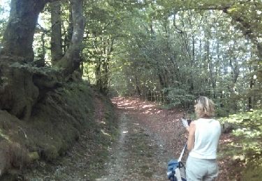
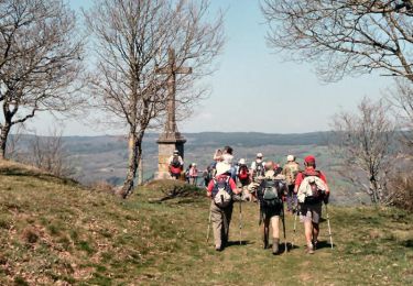
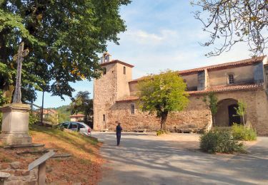
Trail Walking Albine - Candesoubre - Photo

Candesoubre

© OpenStreetMap contributors
Length
Length
7.7 km
Max alt
Max alt
522 m
Uphill gradient
Uphill gradient
234 m
Km-Effort
Km-Effort  
10.8 km
Min alt
Min alt
314 m
Downhill gradient
Downhill gradient
234 m
Boucle
Boucle
Yes
Creation date :
2016-10-20 00:00:00.0
Updated on :
2016-10-20 00:00:00.0

(0 Reviews)

Walking
Walking
2h23
Difficulty : Unknown

Scan this QR Code to open this trail in the SityTrail application

FREE GPS app for hiking

Logo SityTrail SityTrail

IGN / Geographical institutes

Download SityTrail from the App Store Download SityTrail from Google Play

Logo SityTrail SityTrail World

The world is yours!

Download SityTrail from the App Store Download SityTrail from Google Play Download SityTrail on Huawei AppGallery

About

Trail Walking of 7.7 km to be discovered at Occitania, Tarn, Albine. This trail is proposed by philou6351.

Elevation profile

Points of interest

Point of interest Sauveterre - Carrefour de la Croix - Photo
philou6351
Point of interest Sauveterre - Chemin - Photo
philou6351
SAUVETERRE 
Point of interest Sauveterre - Chemin et Sentier - Photo
philou6351
SAUVETERRE 
Point of interest Sauveterre - Chemin et Sentier1 - Photo
philou6351
SAUVETERRE 
Point of interest Sauveterre - Chemin1 - Photo
philou6351
SAUVETERRE 
Point of interest Sauveterre - Chemin2 - Photo
philou6351
SAUVETERRE 
Point of interest Sauveterre - D88 - Photo
philou6351
SAUVETERRE 
Point of interest Sauveterre - D88 et Route et Chemin - Photo
philou6351
Point of interest Sauveterre - D88 et Sentier - Photo
philou6351
SAUVETERRE 
Point of interest Sauveterre - D88 et Sentier1 - Photo
philou6351
SAUVETERRE 
Point of interest Sauveterre - D88 et Sentier2 - Photo
philou6351
SAUVETERRE 
Point of interest Sauveterre - D88 et Sentier3 - Photo
philou6351
SAUVETERRE 
Point of interest Sauveterre - Le Poul - Photo
philou6351
SAUVETERRE 
Point of interest Albine - Mairie - Photo
philou6351
ALBINE 
Point of interest Sauveterre - Pont - Photo
philou6351
SAUVETERRE 
Point of interest Sauveterre - Route - Photo
philou6351
SAUVETERRE 
Point of interest Sauveterre - Route et Chemin - Photo
philou6351
SAUVETERRE 
Point of interest Sauveterre - Route et Sentier - Photo
philou6351
SAUVETERRE 
Point of interest Sauveterre - Route et Sentier1 - Photo
philou6351
SAUVETERRE 
Point of interest Sauveterre - Sentier - Photo
philou6351
SAUVETERRE 

Positioning

Country:
France
Region :
Occitania
Department/Province :
Tarn
Municipality :
Albine
Location:
Unknown
Start:(UTM)
462719 ; 4812124 (31T) N.

Trails nearby

Trail Walking Lespinassière - Salette -Chiffre - Photo
Walking
jsaun

Walking

Medium
(1)
Lespinassière, Occitania, Aude, France
9.6 km | 13.9 km-effort
2h 32min
No
Trail Walking Saint-Amans-Soult - Le sentier des Gentilshommes Verriers - Saint Amand Soult - Photo
Walking
tracegps

Walking

Medium
Saint-Amans-Soult, Occitania, Tarn, France
19.9 km | 31 km-effort
5h 30min
Yes
Trail On foot Lespinassière - Les Villages Perchés - Photo
On foot
GUIDE+

On foot

Medium
Lespinassière, Occitania, Aude, France
12.9 km | 22 km-effort
4h 56min
Yes
Trail Other activity Sauveterre - Sauveterre - Photo
Other activity
jpp2caunes

Other activity

Very easy
Sauveterre, Occitania, Tarn, France
13.5 km | 20 km-effort
5h 31min
Yes
Trail Running Lacabarède - la fontaine des 3 Évêques  - Photo
Running
cedric3175

Running

Medium
Lacabarède, Occitania, Tarn, France
8.4 km | 10.8 km-effort
59min
Yes
Trail Mountain bike Saint-Amans-Soult - Athaïs - Photo
Mountain bike
tsang

Mountain bike

Saint-Amans-Soult, Occitania, Tarn, France
27 km | 41 km-effort
3h 3min
Yes
Trail Mountain bike Saint-Amans-Soult - Athais 1er montagne noir - Photo
Mountain bike
tsang

Mountain bike

Difficult
Saint-Amans-Soult, Occitania, Tarn, France
9.6 km | 18 km-effort
2h 0min
Yes
Trail On foot Albine - roc de peyremaux/stéle des aviateurs - Photo
On foot
Dupleix

On foot

Difficult
Albine, Occitania, Tarn, France
15.5 km | 25 km-effort
Unknown
Yes
Trail Walking Albine - 81_Albine - Photo
Walking
jab31

Walking

Difficult
Albine, Occitania, Tarn, France
14.4 km | 23 km-effort
5h 12min
Yes


Close
My subscriptions