


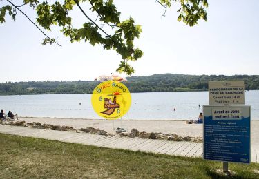
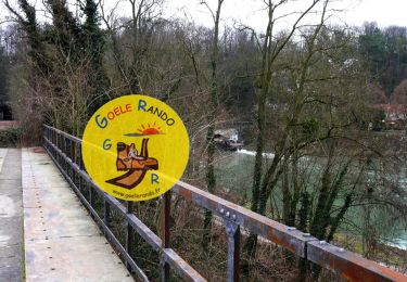
7.4 km | 8 km-effort


User


FREE GPS app for hiking
 SityTrail
IGN / Geographical institutes
SityTrail World
The world is yours!
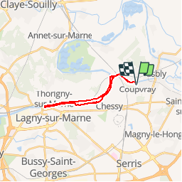
Trail Walking of 17.3 km to be discovered at Ile-de-France, Seine-et-Marne, Coupvray. This trail is proposed by GOELERANDO2.
Parking rue de Lesches vers le musée Braille de Coupvray.
Départ au pied du pont sur le canal de Meaux.
Carte IGN 2414 ET
Long. 2°47.53,E
Lat. 48°53.73, N
A/R 54 km
Walking

Walking

Walking
Walking

On foot

Walking

Walking
Walking

Walking