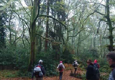
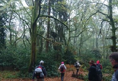
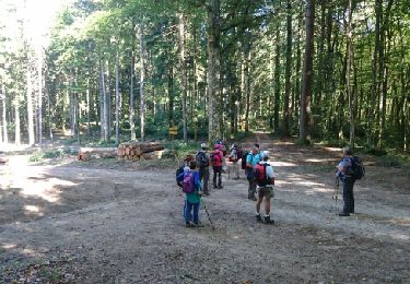
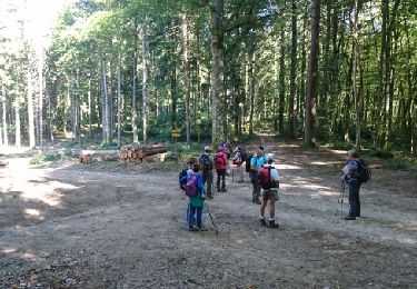
Trail Walking Saint-Prix - Manu-161010 - Morvan-MontBeuvray - Photo

Manu-161010 - Morvan-MontBeuvray

 randodan
randodan

User

© OpenStreetMap contributors
Length
Length
22 km
Max alt
Max alt
815 m
Uphill gradient
Uphill gradient
819 m
Km-Effort
Km-Effort  
33 km
Min alt
Min alt
378 m
Downhill gradient
Downhill gradient
820 m
Boucle
Boucle
Yes
Creation date :
2016-11-26 00:00:00.0
Updated on :
2016-11-26 00:00:00.0

(1 Reviews)

Walking
Walking
6h30
Difficulty : Easy

Scan this QR Code to open this trail in the SityTrail application

FREE GPS app for hiking

Logo SityTrail SityTrail
IGN / Geographical institutes

Download SityTrail from the App Store Download SityTrail from Google Play

Logo SityTrail SityTrail World
The world is yours!

Download SityTrail from the App Store Download SityTrail from Google Play Download SityTrail on Huawei AppGallery

About

Trail Walking of 22 km to be discovered at Bourgogne-Franche-Comté, Saône-et-Loire, Saint-Prix. This trail is proposed by randodan.

Description

2016 - Le Morvan avec Manureva<br>
- 10 octobre : Mont Beuvray -<br>
Glagla ce matin, les pare-brises sont tout givrés !<br>
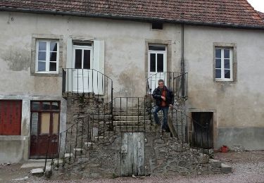
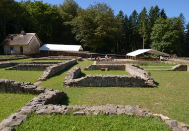
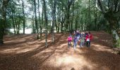
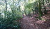
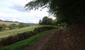
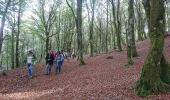
9h15, départ de Saint-Prix . 10h30, Glux-en-Glenne, on a déjà 300 m de dénivelé positif dans les pattes . 11h15, altitude 550 m, on attaque le Mont Beuvray . Au passage, petite pause-visite du site archéologique.<br>
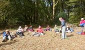
Midi et quart, en haut du Mont Beuvray, 810 m . Un quart d'heure plus tard, nous sortons le pique-nique dans un coin à l'abri du vent et bien ensoleillé.<br>
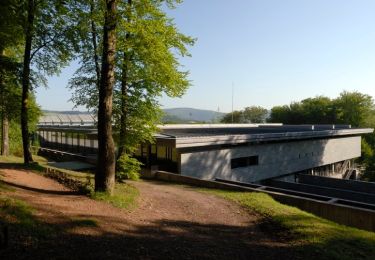
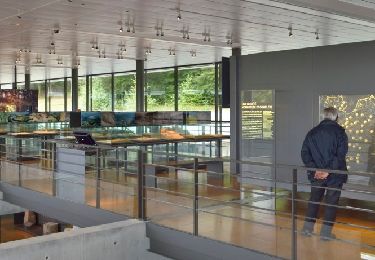
Une heure vingt, il est temps de repartir . Descendons par le versant Est et la Porte du Rebout . Petite pause devant le Musée de la civilisation celtique de Bibracte, puis c'est la descente tranquille jusqu'à La Boutière . La montée, n'était-ce pas que le matin ? Que nenni ! C'est reparti pour  150 m, mais ce seront heureusement les derniers.<br>
16h40, de retour aux voitures . Une belle mais fraîche journée.

Elevation profile

Photos

Points of interest

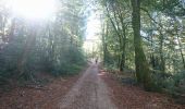
Point of interest Glux-en-Glenne - 03 - Pause biberon avant d'attaquer le petit chemin à droite - Photo
randodan
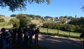
Point of interest Glux-en-Glenne - 04 - Derrière nous, Glux-en-Glenne - Photo
randodan
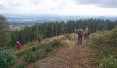
Point of interest Glux-en-Glenne - 05 - Jolie grimpette boisée - Photo
randodan
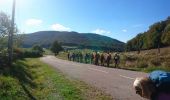
Point of interest Glux-en-Glenne - 06 - Mont Beuvray droit devant ! - Photo
randodan
Point of interest Glux-en-Glenne - 07 - Sur le Chemin du Mont Beuvray - Photo
randodan
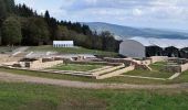
Point of interest Saint-Léger-sous-Beuvray - 08 - Visite du site archéologique - Photo
randodan
SAINT-LÉGER-SOUS-BEUVRAY 
Point of interest Glux-en-Glenne - 09 - Le Chemin de la Croix de Rebout bordé de belles ''queules'' - Photo
randodan
Point of interest Glux-en-Glenne - 10 - Tout proche du sommet - Photo
randodan
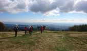
Point of interest Saint-Léger-sous-Beuvray - 11 - Au sommet du Mont Beuvray... - Photo
randodan
SAINT-LÉGER-SOUS-BEUVRAY 
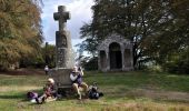
Point of interest Glux-en-Glenne - 12 - Chapelle Saint-Martin - Photo
randodan
Point of interest Glux-en-Glenne - 13 - Pique-nique à l'abri du vent et bien ensoleillé - Photo
randodan
Point of interest Saint-Léger-sous-Beuvray - 14 - Descente du Mont Beuvray - Photo
randodan
SAINT-LÉGER-SOUS-BEUVRAY 
Point of interest Saint-Léger-sous-Beuvray - 15 - Descente dans le Bois de la Come Chaudron - Photo
randodan
SAINT-LÉGER-SOUS-BEUVRAY 
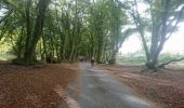
Point of interest Saint-Léger-sous-Beuvray - 16 - Un agréable chemin protégé des rayons ardents du soleil - Photo
randodan
SAINT-LÉGER-SOUS-BEUVRAY 

Positioning

Country:
France
Region :
Bourgogne-Franche-Comté
Department/Province :
Saône-et-Loire
Municipality :
Saint-Prix
Location:
Unknown
Start:(UTM)
581648 ; 5200754 (31T) N.

Comments

Please log in to post a review or rate the element


Trails nearby

Trail Walking Saint-Léger-sous-Beuvray - la chataigneraie - Photo
Walking
martinjacque

Walking

Very easy
(1)
Saint-Léger-sous-Beuvray, Bourgogne-Franche-Comté, Saône-et-Loire, France
6.2 km | 8 km-effort
1h 44min
Yes
Trail On foot Saint-Léger-sous-Beuvray - La Ronde des Mineurs - Photo
On foot
GUIDE+

On foot

Medium
Saint-Léger-sous-Beuvray, Bourgogne-Franche-Comté, Saône-et-Loire, France
19 km | 27 km-effort
6h 6min
No
Trail Walking Saint-Léger-sous-Beuvray - Des manoirs en seigneuries - Photo
Walking
martinjacque

Walking

Easy
(1)
Saint-Léger-sous-Beuvray, Bourgogne-Franche-Comté, Saône-et-Loire, France
7.1 km | 9.9 km-effort
2h 5min
Yes
Trail On foot Glux-en-Glenne - Le Tour des Remparts - Photo
On foot
GUIDE+

On foot

Easy
Glux-en-Glenne, Bourgogne-Franche-Comté, Nièvre, France
4.9 km | 6.8 km-effort
1h 32min
Yes
Trail On foot Glux-en-Glenne - Le Chemin de Maraude - Photo
On foot
GUIDE+

On foot

Easy
Glux-en-Glenne, Bourgogne-Franche-Comté, Nièvre, France
3.1 km | 4 km-effort
54min
Yes
Trail Walking Saint-Léger-sous-Beuvray - 181007 SVG - Photo
Walking
MarcheEtReve

Walking

Very easy
Saint-Léger-sous-Beuvray, Bourgogne-Franche-Comté, Saône-et-Loire, France
9.3 km | 13.5 km-effort
4h 1min
Yes
Trail Walking Saint-Léger-sous-Beuvray - 181007 EnCours-2 - Photo
Walking
MarcheEtReve

Walking

Very easy
Saint-Léger-sous-Beuvray, Bourgogne-Franche-Comté, Saône-et-Loire, France
9.3 km | 13.5 km-effort
4h 1min
Yes
Trail Walking La Grande-Verrière - 181006 SVG - Photo
Walking
MarcheEtReve

Walking

Very easy
La Grande-Verrière, Bourgogne-Franche-Comté, Saône-et-Loire, France
13.6 km | 20 km-effort
6h 15min
Yes
Trail Walking La Grande-Verrière - 181006 EnCours-2 - Photo
Walking
MarcheEtReve

Walking

Very easy
La Grande-Verrière, Bourgogne-Franche-Comté, Saône-et-Loire, France
13.6 km | 20 km-effort
6h 15min
Yes


Close
My subscriptions