


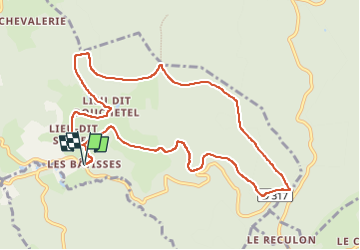

15.5 km | 22 km-effort


User GUIDE


FREE GPS app for hiking
 SityTrail
IGN / Geographical institutes
SityTrail World
The world is yours!
Trail Walking of 10.6 km to be discovered at Auvergne-Rhône-Alpes, Puy-de-Dôme, Vollore-Montagne. This trail is proposed by jagarnier.
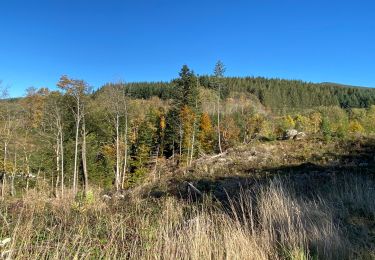
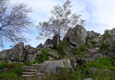
Une randonnée sur l’ancienne frontière médiévale entre le Puy-de-Dôme et la Loire, matérialisée par des bornes royales armoriées. Les bois mènent à un chaos rocheux appelé le « Lit de La Vierge ».
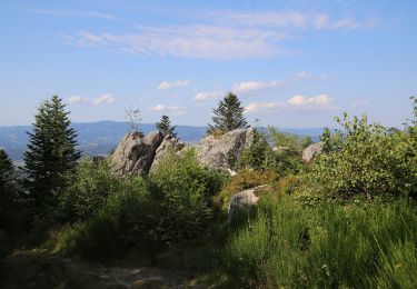
Le lit de la Vierge est un chaos granitique qui émerge de la Forêt d'Aubusson, offrant un vaste panorama qui va de Pierre-sur-Haute au Puy de Dôme en passant par les monts Dore.

On foot
Walking
On foot
Walking
Walking

On foot
On foot

Walking
Walking