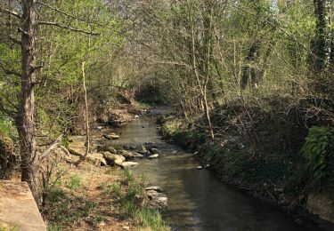
25 km | 28 km-effort
ELANGE CV 10400 195 2 h 48
vogel.raymond
User
Length
10.4 km
Max alt
315 m
Uphill gradient
199 m
Km-Effort
13.1 km
Min alt
200 m
Downhill gradient
197 m
Boucle
Yes
Creation date :
2016-10-10 00:00:00.0
Updated on :
2019-09-05 21:04:16.165
2h48
Difficulty : Unknown
FREE GPS app for hiking
About
Trail Walking of 10.4 km to be discovered at Grand Est, Moselle, Thionville. This trail is proposed by vogel.raymond.
Positioning
Country:
France
Region :
Grand Est
Department/Province :
Moselle
Municipality :
Thionville
Location:
Unknown
Start:(Dec)
Start:(UTM)
291051 ; 5474125 (32U) N.
Comments
Trails nearby
Thionville oeutrange
Walking
Very easy
(1)
Thionville,
Grand Est,
Moselle,
France
16.4 km | 22 km-effort
3h 11min
Yes
saint Michel 1
Walking
Very easy
(1)
Thionville,
Grand Est,
Moselle,
France
5.4 km | 7.7 km-effort
1h 38min
Yes
thionville : je suis venu, j ai vu, je reviendrai plus
Walking
Very easy
Thionville,
Grand Est,
Moselle,
France
6.7 km | 7.5 km-effort
3h 23min
Yes
Boucle d'Escherange
On foot
Easy
Angevillers,
Grand Est,
Moselle,
France
7.6 km | 10 km-effort
2h 16min
Yes
Circuit de Chalet - Bois de la Côte
On foot
Easy
Thionville,
Grand Est,
Moselle,
France
4.4 km | 5.6 km-effort
1h 15min
Yes
En suivant le ruisseau Metzange de Volkrange au Parc Napoléon.
On foot
Medium
Thionville,
Grand Est,
Moselle,
France
23 km | 26 km-effort
5h 50min
Yes