


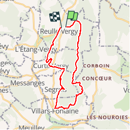


12.1 km | 15.5 km-effort

User


FREE GPS app for hiking
 SityTrail
IGN / Geographical institutes
SityTrail World
The world is yours!
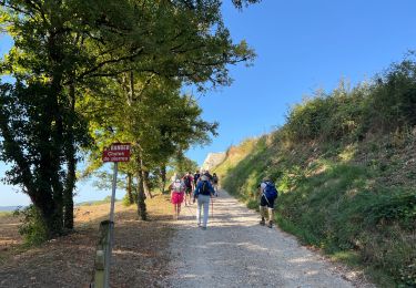
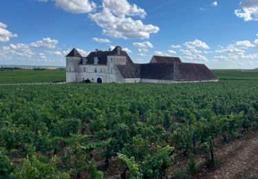
Trail Walking of 15 km to be discovered at Bourgogne-Franche-Comté, Côte-d'Or, Reulle-Vergy. This trail is proposed by mpstoop.
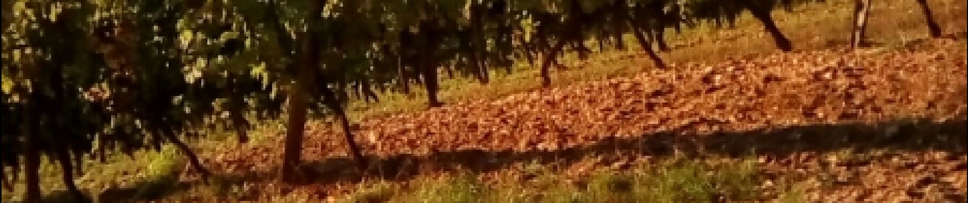
Itinéraire à travers les vignobles et collines des Hautes-Alpes de Nuits saint Georges
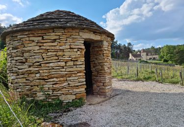
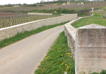
Plusieurs points de vue élevés dont deux panoramas avec table d'orientation
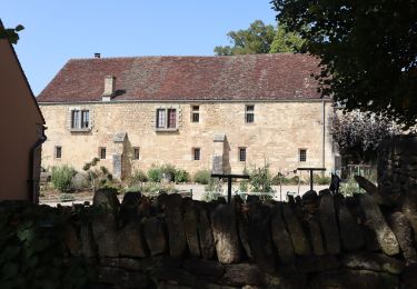
Site archéologique millénaire,abbaye et château en ruine


Walking

On foot

Mountain bike
Walking
Walking
Walking
Walking
On foot

Other activity