


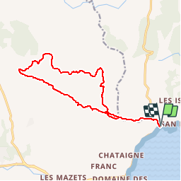

8.1 km | 10.6 km-effort


User


FREE GPS app for hiking
 SityTrail
IGN / Geographical institutes
SityTrail World
The world is yours!
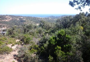
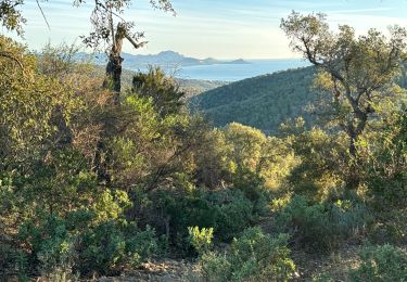
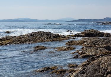
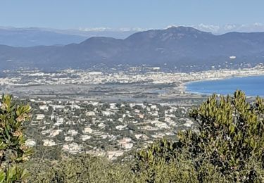
Trail Walking of 16.3 km to be discovered at Provence-Alpes-Côte d'Azur, Var, Sainte-Maxime. This trail is proposed by soca.
Walking

Walking

Walking
Walking
Walking
Walking
Walking

Walking
Walking
possible de partir plus haut au début de la boucle