12.6 km | 16.4 km-effort
RVA 2016 sportif
jujube007
User
Length
29 km
Max alt
544 m
Uphill gradient
871 m
Km-Effort
41 km
Min alt
270 m
Downhill gradient
874 m
Boucle
Yes
Creation date :
2016-10-04 00:00:00.0
Updated on :
2016-10-04 00:00:00.0
4h25
Difficulty : Difficult
FREE GPS app for hiking
About
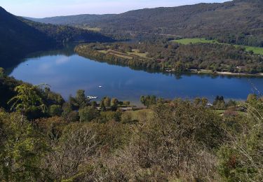
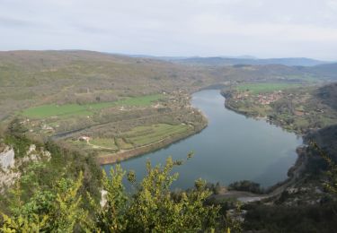
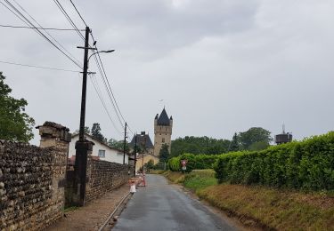
Trail Mountain bike of 29 km to be discovered at Auvergne-Rhône-Alpes, Ain, Hautecourt-Romanèche. This trail is proposed by jujube007.
Positioning
Country:
France
Region :
Auvergne-Rhône-Alpes
Department/Province :
Ain
Municipality :
Hautecourt-Romanèche
Location:
Unknown
Start:(Dec)
Start:(UTM)
687736 ; 5111383 (31T) N.
Comments
Trails nearby
challes la montagne barrage lallement la cueille sameriat
Walking
Easy
Challes-la-Montagne,
Auvergne-Rhône-Alpes,
Ain,
France
10 km | 14.3 km-effort
3h 10min
Yes
les bords de l ain depart povin
Walking
Very difficult
Poncin,
Auvergne-Rhône-Alpes,
Ain,
France
23 km | 32 km-effort
6h 25min
Yes
Circuit l'Ain à vélo n° 22 - Et au milieu coule une rivière...
Road bike
Very difficult
Poncin,
Auvergne-Rhône-Alpes,
Ain,
France
59 km | 72 km-effort
4h 9min
No
La Cueille - Cizod
Walking
Medium
Poncin,
Auvergne-Rhône-Alpes,
Ain,
France
8.6 km | 12.8 km-effort
1h 56min
Yes
Poncin Jujurieux
Walking
Easy
Poncin,
Auvergne-Rhône-Alpes,
Ain,
France
17 km | 22 km-effort
3h 28min
Yes
Serrières Leyssard
Walking
Difficult
Serrières-sur-Ain,
Auvergne-Rhône-Alpes,
Ain,
France
16.6 km | 26 km-effort
4h 2min
Yes
Le Tour de l'Ain de Poncin à Serrières-sur-Ain et retour
Walking
Very difficult
Poncin,
Auvergne-Rhône-Alpes,
Ain,
France
24 km | 35 km-effort
7h 57min
Yes
Poncin - Frontenas
Bicycle tourism
Very easy
Poncin,
Auvergne-Rhône-Alpes,
Ain,
France
69 km | 75 km-effort
3h 56min
No