


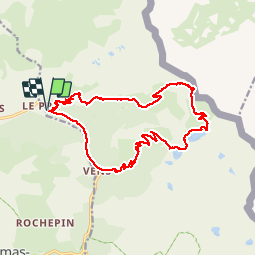

15.5 km | 30 km-effort

User GUIDE


FREE GPS app for hiking
 SityTrail
IGN / Geographical institutes
SityTrail World
The world is yours!
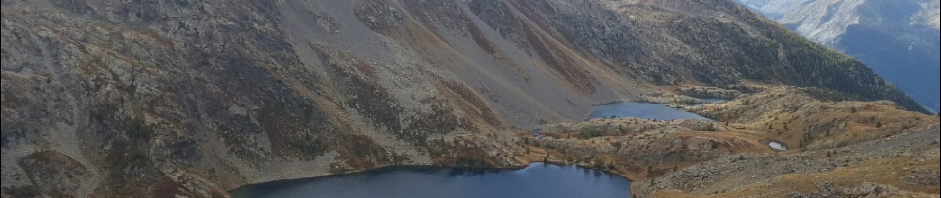
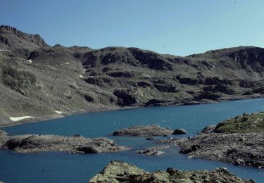
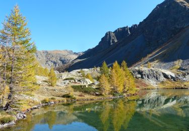
Trail Walking of 21 km to be discovered at Provence-Alpes-Côte d'Azur, Maritime Alps, Saint-Étienne-de-Tinée. This trail is proposed by toutankhcarton.
Rando sportive
Haut Pays - Vallée de la Tinée
Retour par Gué de Vens


Walking

Walking

On foot

On foot

On foot
On foot

Walking
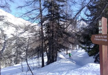
Touring skiing
Walking