


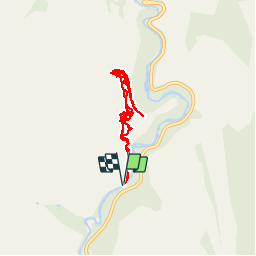

5.4 km | 6.9 km-effort

User


FREE GPS app for hiking
 SityTrail
IGN / Geographical institutes
SityTrail World
The world is yours!
Trail Walking of 9.6 km to be discovered at Utah, Washington County. This trail is proposed by phi14.
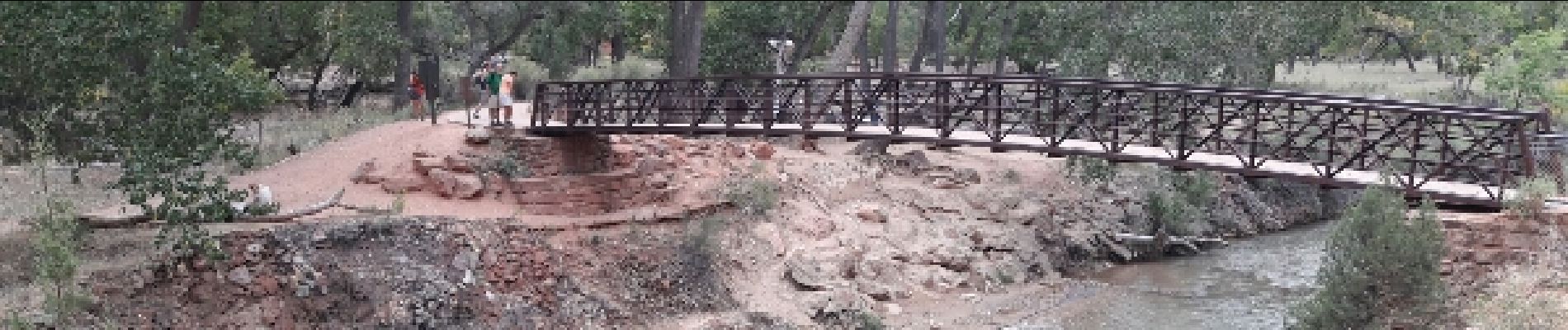
C'est LA rando à faire à Zion. Splendide !!! Attention, sujet au vertige s'abstenir, la fin se fait sur une crête avec 400 m de vide de chaque côté.


Walking
Walking