![](/images/other/stat-length.png)
![Trail Other activity Bures-sur-Yvette - STBY parcours 1 - Photo](https://media.geolcdn.com/t/1900/400/ext.pjpeg?maxdim=2&url=https%3A%2F%2Fservices.sitytrail.com%2FGeolivesWS%2FDownloadMedia.ashx%3FTrailID%3D637303%26Media%3Dfix__20160927114654.jpg)
STBY parcours 1
Naitsirk
User
![Length](/images/other/stat-length.png)
Length
9.5 km
![Max alt](https://static1.geolcdn.com/siteimages/upload/files/1508320355ic_sort_altitude_max_24dp.png)
Max alt
177 m
![Uphill gradient](https://static1.geolcdn.com/siteimages/upload/files/1508320355ic_sort_den_pos_24dp.png)
Uphill gradient
230 m
![Km-Effort](/images/other/stat-length.png)
Km-Effort
12.5 km
![Min alt](https://static1.geolcdn.com/siteimages/upload/files/1508320355ic_sort_altitude_min_24dp.png)
Min alt
55 m
![Downhill gradient](https://static1.geolcdn.com/siteimages/upload/files/1508320355ic_sort_den_neg_24dp.png)
Downhill gradient
230 m
![Boucle](https://static1.geolcdn.com/siteimages/upload/files/16400158638029165_repeat_loop_refresh_sync_direction_icon.png)
Boucle
Yes
Creation date :
2016-09-27 00:00:00.0
Updated on :
2016-09-27 00:00:00.0
![Other activity](https://static1.geolcdn.com/sitytour/trail-icons/900.png)
3h18
Difficulty : Unknown
![Scan this QR Code to open this trail in the SityTrail application](https://capi.geolives.com/qq0zvz2zws4bq2lad0pu/sitytour/trails/637303/qr.png?size=200)
FREE GPS app for hiking
About
Trail Other activity of 9.5 km to be discovered at Ile-de-France, Essonne, Bures-sur-Yvette. This trail is proposed by Naitsirk.
Description
Parcours vert n°1 de la Station de Trail de Bures sur Yvette Vallée de Chevreuse
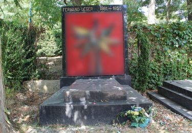
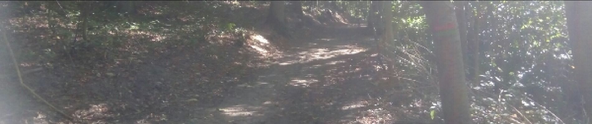
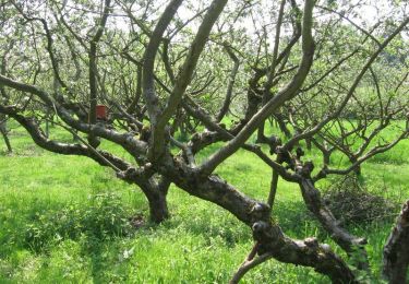
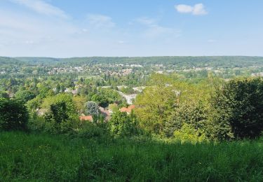
Positioning
Country:
France
Region :
Ile-de-France
Department/Province :
Essonne
Municipality :
Bures-sur-Yvette
Location:
Unknown
Start:(Dec)
Start:(UTM)
438116 ; 5394115 (31U) N.
Comments
Trails nearby
![Trail Walking Gif-sur-Yvette - _Gif sur Yvette, une ville à la campagne - Photo](https://media.geolcdn.com/t/375/260/ext.jpg?maxdim=2&url=https%3A%2F%2Fservices.sitytrail.com%2FGeolivesWS%2FDownloadMedia.ashx%3FTrailID%3D779352%26Media%3D6efce478-230b-4926-9641-e6f0bf2b902d.jpg)
![Walking Walking](https://static1.geolcdn.com/sitytour/trail-icons/101.png)
_Gif sur Yvette, une ville à la campagne
Walking
Medium
(3)
Gif-sur-Yvette,
Ile-de-France,
Essonne,
France
![](/images/other/stat-length.png)
8.6 km | 10.5 km-effort
2h 0min
![](https://static1.geolcdn.com/siteimages/upload/files/16400158638029165_repeat_loop_refresh_sync_direction_icon.png)
Yes
![Trail Walking Palaiseau - De Lozere à Gif sur Yvette - Photo](https://media.geolcdn.com/t/375/260/ext.jpg?maxdim=2&url=https%3A%2F%2Fservices.sitytrail.com%2FGeolivesWS%2FDownloadMedia.ashx%3FTrailID%3D106655%26Media%3D11272_3.jpg)
![Walking Walking](https://static1.geolcdn.com/sitytour/trail-icons/101.png)
De Lozere à Gif sur Yvette
Walking
Medium
(1)
Palaiseau,
Ile-de-France,
Essonne,
France
![](/images/other/stat-length.png)
21 km | 28 km-effort
5h 0min
![](https://static1.geolcdn.com/siteimages/upload/files/16400158638029165_repeat_loop_refresh_sync_direction_icon.png)
Yes
![Trail Walking Gometz-le-Châtel - Autour de Gometz le Châtel - Photo](https://media.geolcdn.com/t/375/260/ext.jpg?maxdim=2&url=https%3A%2F%2Fservices.sitytrail.com%2FGeolivesWS%2FDownloadMedia.ashx%3FTrailID%3D103452%26Media%3D5573_3.jpg)
![Walking Walking](https://static1.geolcdn.com/sitytour/trail-icons/101.png)
Autour de Gometz le Châtel
Walking
Medium
(1)
Gometz-le-Châtel,
Ile-de-France,
Essonne,
France
![](/images/other/stat-length.png)
7.8 km | 10.6 km-effort
2h 30min
![](https://static1.geolcdn.com/siteimages/upload/files/16400158638029165_repeat_loop_refresh_sync_direction_icon.png)
Yes
![Trail Walking Bures-sur-Yvette - PR 9 Fauvettes - Photo](https://media.geolcdn.com/t/375/260/6ae1ebaa-226a-4e65-b5c2-412630c69abc.jpg&format=jpg&maxdim=2)
![Walking Walking](https://static1.geolcdn.com/sitytour/trail-icons/101.png)
PR 9 Fauvettes
Walking
Very easy
(1)
Bures-sur-Yvette,
Ile-de-France,
Essonne,
France
![](/images/other/stat-length.png)
6.6 km | 8.5 km-effort
2h 3min
![](https://static1.geolcdn.com/siteimages/upload/files/16400158638029165_repeat_loop_refresh_sync_direction_icon.png)
Yes
![Trail Walking Orsay - Le long de l yvette - Photo](https://media.geolcdn.com/t/375/260/ext.jpg?maxdim=2&url=https%3A%2F%2Fservices.sitytrail.com%2FGeolivesWS%2FDownloadMedia.ashx%3FTrailID%3D427704%26Media%3Dfix__20150530150046.jpg)
![Walking Walking](https://static1.geolcdn.com/sitytour/trail-icons/101.png)
Le long de l yvette
Walking
Very easy
(1)
Orsay,
Ile-de-France,
Essonne,
France
![](/images/other/stat-length.png)
8.5 km | 9.4 km-effort
2h 43min
![](https://static1.geolcdn.com/siteimages/upload/files/16400158638029165_repeat_loop_refresh_sync_direction_icon.png)
Yes
![Trail Walking Orsay - Orsay Campus - Photo](https://media.geolcdn.com/t/375/260/ext.jpg?maxdim=2&url=https%3A%2F%2Fservices.sitytrail.com%2FGeolivesWS%2FDownloadMedia.ashx%3FTrailID%3D103330%26Media%3D5326_2.jpg)
![Walking Walking](https://static1.geolcdn.com/sitytour/trail-icons/101.png)
Orsay Campus
Walking
Medium
(1)
Orsay,
Ile-de-France,
Essonne,
France
![](/images/other/stat-length.png)
10.9 km | 13.3 km-effort
3h 30min
![](https://static1.geolcdn.com/siteimages/upload/files/16400158638029165_repeat_loop_refresh_sync_direction_icon.png)
Yes
![Trail Walking Gometz-le-Châtel - Gometz-le-Chatel.11022024 - Photo](https://media.geolcdn.com/t/375/260/ext.jpg?maxdim=2&url=https%3A%2F%2Fstatic1.geolcdn.com%2Fsiteimages%2Fupload%2Ffiles%2F1553511878bg_sport_marche.png)
![Walking Walking](https://static1.geolcdn.com/sitytour/trail-icons/101.png)
Gometz-le-Chatel.11022024
Walking
Medium
(1)
Gometz-le-Châtel,
Ile-de-France,
Essonne,
France
![](/images/other/stat-length.png)
17.9 km | 24 km-effort
5h 28min
![](https://static1.geolcdn.com/siteimages/upload/files/16400158638029165_repeat_loop_refresh_sync_direction_icon.png)
Yes
![Trail Walking Gif-sur-Yvette - Boucle Gif Sur Yvette 20 km - 370 mètres dénivelés - Photo](https://media.geolcdn.com/t/375/260/28482760-d49d-48ef-a642-c8ab198da6cc.jpg&format=jpg&maxdim=2)
![Walking Walking](https://static1.geolcdn.com/sitytour/trail-icons/101.png)
Boucle Gif Sur Yvette 20 km - 370 mètres dénivelés
Walking
Easy
Gif-sur-Yvette,
Ile-de-France,
Essonne,
France
![](/images/other/stat-length.png)
21 km | 27 km-effort
5h 5min
![](https://static1.geolcdn.com/siteimages/upload/files/16400158638029165_repeat_loop_refresh_sync_direction_icon.png)
Yes
![Trail On foot Gif-sur-Yvette - PR4 - Photo](https://media.geolcdn.com/t/375/260/dd5b68de-d2b5-43f4-a36f-d3fb3c983f07.jpeg&format=jpg&maxdim=2)
![On foot On foot](https://static1.geolcdn.com/sitytour/trail-icons/100.png)