


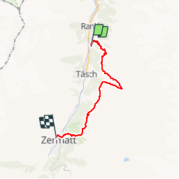


18.8 km | 34 km-effort

User


FREE GPS app for hiking
 SityTrail
IGN / Geographical institutes
SityTrail World
The world is yours!
Trail Walking of 18.5 km to be discovered at Valais/Wallis, Visp, Randa. This trail is proposed by jeff2.
La plus journée pour la météo et la plus belle arrivée sur Zermatt


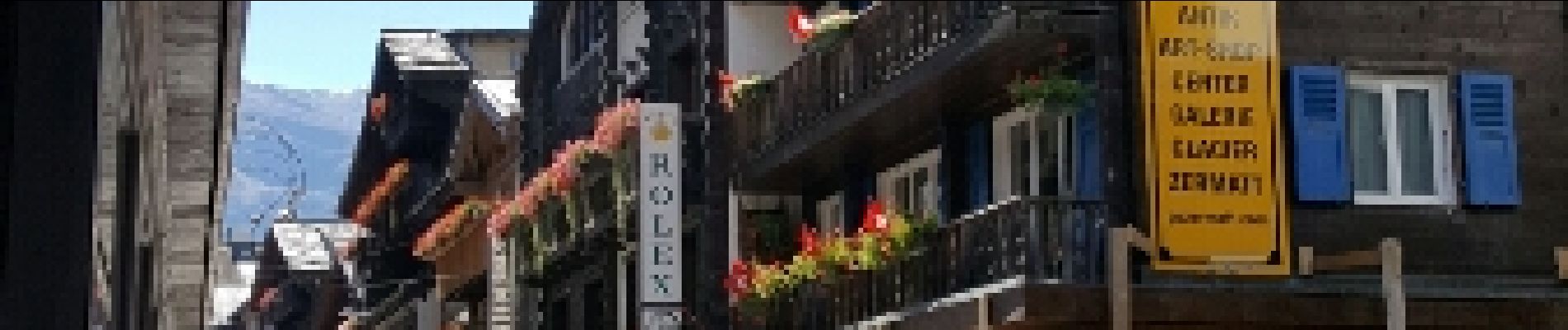
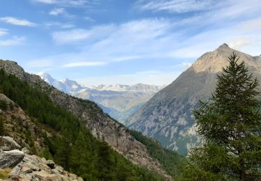
28 photos in total. Please click on a photo to see them all in the gallery.
Walking

Walking
Walking

Other activity
Other activity


sport
Walking
Climbing