


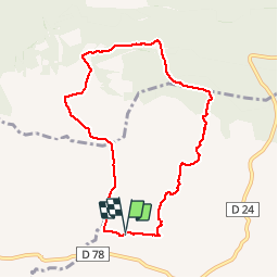

10.3 km | 14 km-effort

User


FREE GPS app for hiking
 SityTrail
IGN / Geographical institutes
SityTrail World
The world is yours!
Trail Walking of 8.3 km to be discovered at Provence-Alpes-Côte d'Azur, Bouches-du-Rhône, Mouriès. This trail is proposed by MicDul.
Départ : parking de la cave "Mas de Gourgonnier" - avec accord
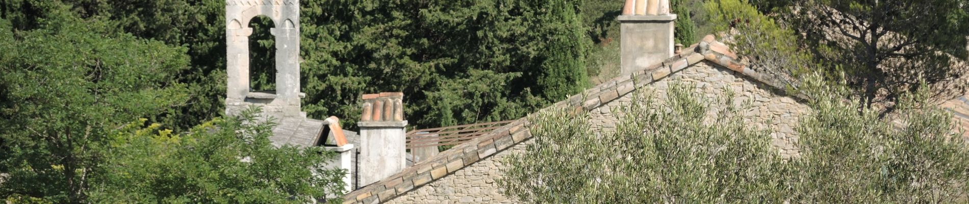
Malheureusement on ne peut visiter la Chapelle - propriété privée - qu'aux journées du patrimoine.


Walking
Walking

Walking
Walking
Walking
Walking
Walking


sport
Walking