


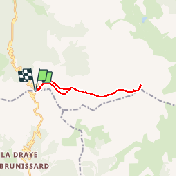


11.7 km | 19.7 km-effort

User GUIDE


FREE GPS app for hiking
 SityTrail
IGN / Geographical institutes
SityTrail World
The world is yours!
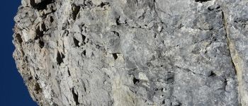
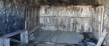
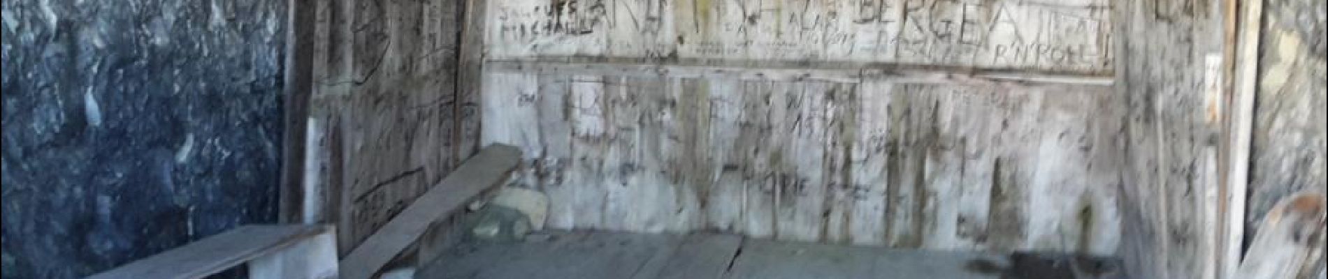
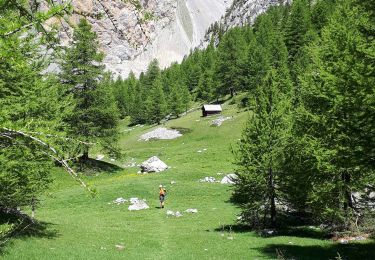
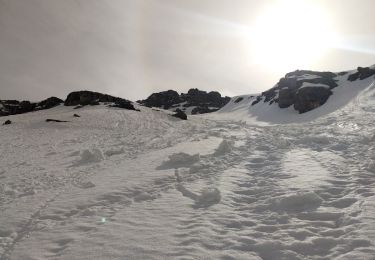
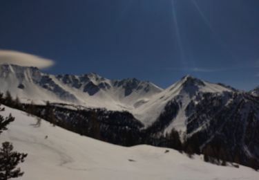
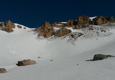
Trail Walking of 11.7 km to be discovered at Provence-Alpes-Côte d'Azur, Hautes-Alpes, Arvieux. This trail is proposed by R@ph.


Walking
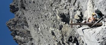
Via ferrata
Touring skiing
Touring skiing

Touring skiing
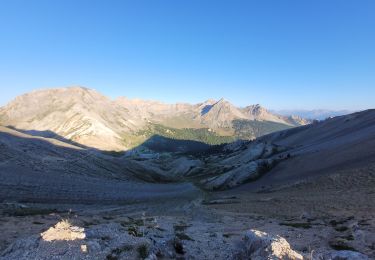
Walking
Other activity

Other activity

Snowshoes