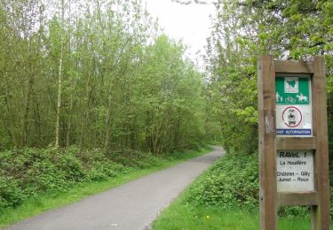
Trail Walking Charleroi - 5km Adeps GPF1 - Photo
© OpenStreetMap contributors
Length
Length
5.4 km
Max alt
Max alt
179 m
Uphill gradient
Uphill gradient
66 m
Km-Effort
Km-Effort  
6.3 km
Min alt
Min alt
145 m
Downhill gradient
Downhill gradient
65 m
Boucle
Boucle
Yes
Creation date :
2016-09-21 00:00:00.0
Updated on :
2016-09-21 00:00:00.0

(0 Reviews)

Walking
Walking
1h00
Difficulty : Easy

Scan this QR Code to open this trail in the SityTrail application

FREE GPS app for hiking

Logo SityTrail SityTrail

IGN / Geographical institutes

Download SityTrail from the App Store Download SityTrail from Google Play

Logo SityTrail SityTrail World

The world is yours!

Download SityTrail from the App Store Download SityTrail from Google Play Download SityTrail on Huawei AppGallery

About

Trail Walking of 5.4 km to be discovered at Wallonia, Hainaut, Charleroi. This trail is proposed by LaurentDogot.

Elevation profile

Points of interest

Point of interest Charleroi - 1 - Photo
LaurentDogot
CHARLEROI 

Positioning

Country:
Belgium
Region :
Wallonia
Department/Province :
Hainaut
Municipality :
Charleroi
Location:
Gosselies
Start:(UTM)
601525 ; 5591394 (31U) N.

Trails nearby

Trail Walking Pont-à-Celles - Balade verte au Pays noir - Viesville et sa réserve naturelle - Photo
Walking
GUIDE
Desrumaux

Walking

Easy
(7)
Pont-à-Celles, Wallonia, Hainaut, Belgium
10.2 km | 12.6 km-effort
2h 30min
Yes
Trail Walking Charleroi - La Promenade du Bois de Heigne - Photo
Walking
GUIDE
Desrumaux

Walking

Very easy
(4)
Charleroi, Wallonia, Hainaut, Belgium
6.8 km | 8.5 km-effort
1h 52min
Yes
Trail Walking Les Bons Villers - #221021 - Mellet, Champ Chassart et Saint Fiacre - Photo
Walking
Randos Ouvertes

Walking

Medium
(1)
Les Bons Villers, Wallonia, Hainaut, Belgium
8.6 km | 9.3 km-effort
2h 7min
Yes
Trail Walking Charleroi - Terrils 1. dép rue chemin de fer,39.Marchienne - Photo
Walking
ELISECRO

Walking

Difficult
(1)
Charleroi, Wallonia, Hainaut, Belgium
5.1 km | 6.4 km-effort
1h 43min
Yes
Trail Walking Charleroi - Gr1666 1ere Roux -Montignie sur Sambre 26 km - Photo
Walking
GUIDE
rvapeldo

Walking

Medium
Charleroi, Wallonia, Hainaut, Belgium
25 km | 29 km-effort
7h 9min
No
Trail Mountain bike Charleroi - ransart 29-10-22 - Photo
Mountain bike
GUIDE
pascalou73

Mountain bike

Very difficult
Charleroi, Wallonia, Hainaut, Belgium
54 km | 60 km-effort
4h 8min
Yes
Trail Walking Charleroi - Boucle Noire - Variante 3b - 11,1km - 196m+ - Photo
Walking
yamadix

Walking

Easy
(1)
Charleroi, Wallonia, Hainaut, Belgium
11.1 km | 13.7 km-effort
20min
Yes
Trail Walking Charleroi - Boucle Noire - Variante 3a - 12,7km - 241m+ - Photo
Walking
yamadix

Walking

Easy
(1)
Charleroi, Wallonia, Hainaut, Belgium
12.7 km | 15.9 km-effort
20min
Yes
Trail Mountain bike Charleroi - ransart spy 2 - Photo
Mountain bike
GUIDE
pascalou73

Mountain bike

Very difficult
Charleroi, Wallonia, Hainaut, Belgium
61 km | 70 km-effort
4h 49min
Yes


Close
My subscriptions