


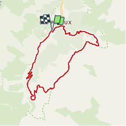

11 km | 19.3 km-effort


User


FREE GPS app for hiking
 SityTrail
IGN / Geographical institutes
SityTrail World
The world is yours!
Trail Walking of 8.4 km to be discovered at Auvergne-Rhône-Alpes, Savoy, Pralognan-la-Vanoise. This trail is proposed by direction-ot.
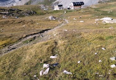
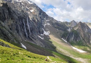
Une variante est possible via le Chalet des Nants, avec de nombreux ruisseaux à traverser. Leur débit peut être important en période de fonte des neiges ou à la suite d'un orage.

Walking
Walking

Walking
Walking

Walking

Walking

Walking

Walking

Walking