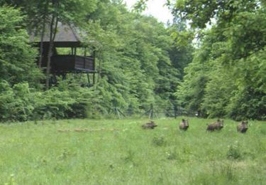
14.7 km | 17.1 km-effort
rando avec beau père bossancourt
azur1010
User
Length
19.8 km
Max alt
280 m
Uphill gradient
430 m
Km-Effort
26 km
Min alt
153 m
Downhill gradient
434 m
Boucle
Yes
Creation date :
2016-09-14 00:00:00.0
Updated on :
2016-09-14 00:00:00.0
4h00
Difficulty : Medium
FREE GPS app for hiking
About
Trail Walking of 19.8 km to be discovered at Grand Est, Aube, Bossancourt. This trail is proposed by azur1010.
Description
Dur dur
Positioning
Country:
France
Region :
Grand Est
Department/Province :
Aube
Municipality :
Bossancourt
Location:
Unknown
Start:(Dec)
Start:(UTM)
618759 ; 5349110 (31U) N.
Comments
Trails nearby
Chemin de Compostelle, Voie de Vézelay GR654® De Unienville à La Loge aux Chè...
Walking
Medium
Unienville,
Grand Est,
Aube,
France
3h 0min
No
bossancourt circuit
Walking
Difficult
Bossancourt,
Grand Est,
Aube,
France
27 km | 33 km-effort
5h 7min
Yes
bossancourt arsonval....
Walking
Difficult
Bossancourt,
Grand Est,
Aube,
France
19.1 km | 25 km-effort
3h 42min
Yes
Dolincourt- Essoye
Walking
Very difficult
Dolancourt,
Grand Est,
Aube,
France
31 km | 39 km-effort
8h 52min
No
Beautiful hike