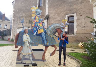

BMF-160903.1 - Aubigny-Ville

randodan
User

Length
9.1 km

Max alt
200 m

Uphill gradient
64 m

Km-Effort
9.9 km

Min alt
181 m

Downhill gradient
61 m
Boucle
Yes
Creation date :
2016-11-03 00:00:00.0
Updated on :
2016-11-03 00:00:00.0
3h12
Difficulty : Very easy

FREE GPS app for hiking
About
Trail Walking of 9.1 km to be discovered at Centre-Loire Valley, Cher, Aubigny-sur-Nère. This trail is proposed by randodan.
Description
WE camping Aubigny<br>
- 03 septembre 2016, matin -<br>
Départ du camping, 9h10. Cap au Sud, traversons la Nère puis remontons sur Aubigny. Balade en ville, visite de l'Église Saint-Martin, petit tour dans les Grands Jardins (parc).<br>
12h20, de retour au camping.
Positioning
Country:
France
Region :
Centre-Loire Valley
Department/Province :
Cher
Municipality :
Aubigny-sur-Nère
Location:
Unknown
Start:(Dec)
Start:(UTM)
459191 ; 5258927 (31T) N.
Comments
Trails nearby

aubigny sur nere


Nordic walking
Very easy
Aubigny-sur-Nère,
Centre-Loire Valley,
Cher,
France

28 km | 30 km-effort
4h 37min
Yes

La mare au Sanglier


Walking
Very difficult
Aubigny-sur-Nère,
Centre-Loire Valley,
Cher,
France

18.3 km | 19.6 km-effort
4h 23min
Yes

Aubigny


Walking
Easy
Aubigny-sur-Nère,
Centre-Loire Valley,
Cher,
France

3.9 km | 4.2 km-effort
53min
No


Vélo nord


Mountain bike
Very easy
Aubigny-sur-Nère,
Centre-Loire Valley,
Cher,
France

24 km | 26 km-effort
Unknown
Yes


 SityTrail


