


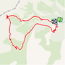

8.8 km | 12.4 km-effort

User


FREE GPS app for hiking
 SityTrail
IGN / Geographical institutes
SityTrail World
The world is yours!
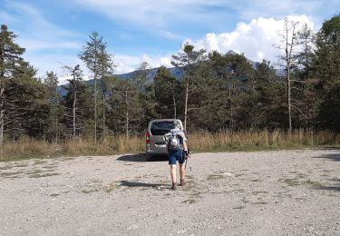
Trail Walking of 13.4 km to be discovered at Provence-Alpes-Côte d'Azur, Hautes-Alpes, Châteauroux-les-Alpes. This trail is proposed by BLANCHET.
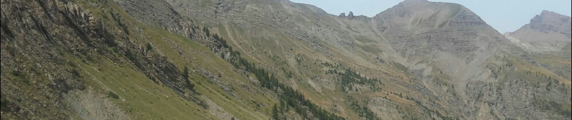
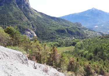
la montée est raide!
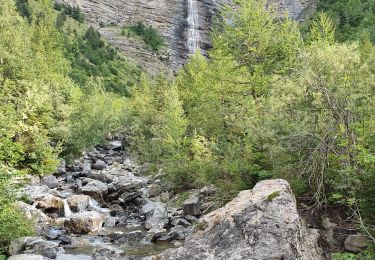
La descente vers la cabane du Tissap se fait dans les casses .
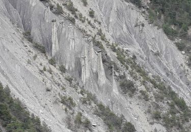
Il faut franchir plusieurs barres rocheuses que l on ne voit que quand on est dessus.
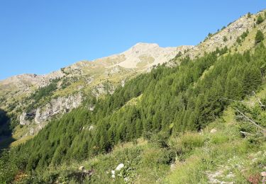
Les herbages sont très glissants.
Prudence !!!


Walking
Walking
Snowshoes
Walking
Walking
Walking
Walking
Walking
Walking